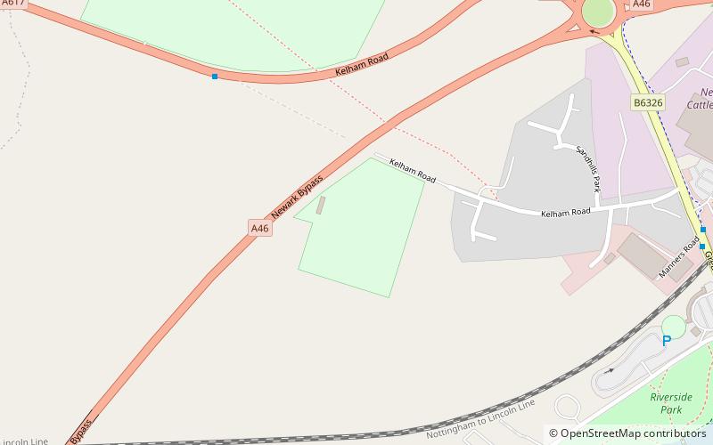
Kelham Road, Newark
Map
Facts and practical information
Kelham Road is a cricket ground in Newark-on-Trent, Nottinghamshire. The first recorded match on the ground was in 1849, when the Newark played an All-England Eleven. In 1856, the ground hosted a its only first-class match when Nottinghamshire played an All-England Eleven. The ground is the home of Newark Ransome & Marles Cricket Club. ()
Coordinates: 53°4'49"N, 0°49'21"W
Address
Newark
ContactAdd
Social media
Add
Getting there by public transportation
Public transportation stops near this location
- Bus
- Train
 Bus
Bus
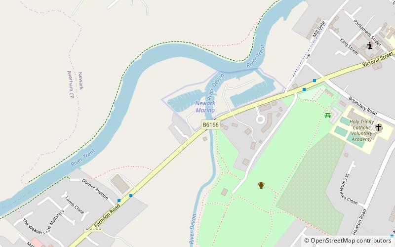
- Calculate routeNewark Castle 10 min walk
- Calculate routeNewark North Gate 25 min walk
- Calculate routeNewark Bus Station 14 min walk
Day trips


Frequently Asked Questions (FAQ)
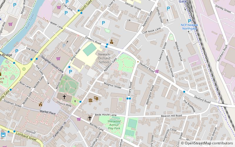
Which popular attractions are close to Kelham Road?
Nearby attractions include Newark Castle, Newark (12 min walk), Newark Town Hall, Newark (15 min walk), Kings Marina, Newark (16 min walk), Church of St Mary Magdalene, Newark (17 min walk).
How to get to Kelham Road by public transport?
The nearest stations to Kelham Road:
Train
Bus
Train
- Newark Castle (10 min walk)
- Newark North Gate (25 min walk)
Bus
- Newark Bus Station (14 min walk)