Lake Lothing, Lowestoft
Map
Facts and practical information
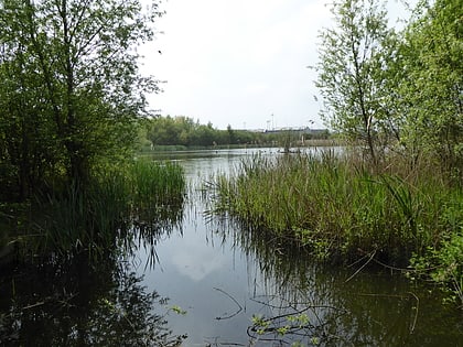
Lake Lothing is a saltwater lake located in Lowestoft in the English county of Suffolk. The lake, which is believed to be the remnant of medieval peat cutting, flows into the North Sea and forms part of the Port of Lowestoft. The area was the major industrial centre of Lowestoft with ship building and other engineering industries, much of which has now closed. ()
Elevation: 20 ft a.s.l.Coordinates: 52°28'27"N, 1°45'8"E
Address
Lowestoft
ContactAdd
Social media
Add
Day trips
Lake Lothing – popular in the area (distance from the attraction)
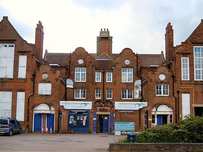
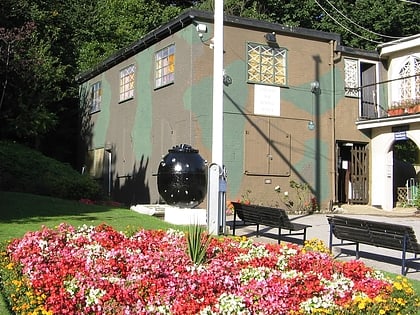
Nearby attractions include: Lowestoft Maritime Museum, The Seagull, Mincarlo, North Quay Retail Park.
Frequently Asked Questions (FAQ)
Which popular attractions are close to Lake Lothing?
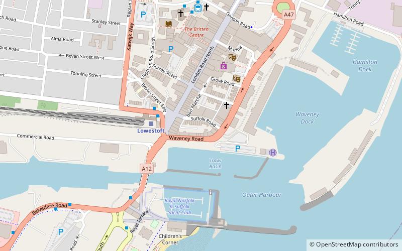
Nearby attractions include Royal Norfolk & Suffolk Yacht Club, Lowestoft (4 min walk), Mincarlo, Lowestoft (4 min walk), Marina Theatre, Lowestoft (8 min walk), Claremont Pier, Lowestoft (17 min walk).
How to get to Lake Lothing by public transport?
The nearest stations to Lake Lothing:
Bus
Train
Bus
- Railway Station • Lines: 60, X2 (3 min walk)
- Lowestoft Bus Station (6 min walk)
Train
- Lowestoft (3 min walk)

