Lisnagade, Banbridge
Map

Map

Facts and practical information
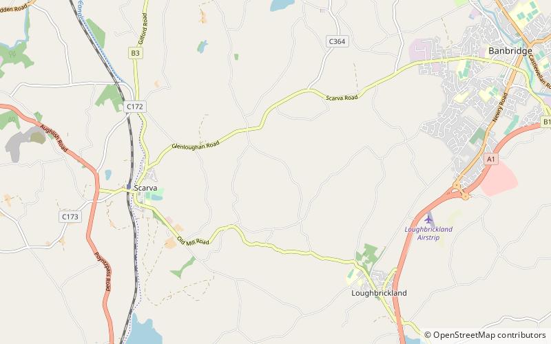
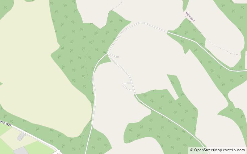
Lisnagade is a large multivallate earthen ringfort, three miles west of Banbridge, County Down, Northern Ireland, United Kingdom, just off the Scarva road. Lisnagade Fort rath and annex are State Care Historic Monuments in the townland of Lisnagade, in Banbridge District. ()
Coordinates: 54°20'1"N, 6°19'48"W
Address
Banbridge
ContactAdd
Social media
Add
Day trips
Lisnagade – popular in the area (distance from the attraction)
Nearby attractions include: Tandragee Castle, Tandragee Golf Club, Drumbanagher House, Loughbrickland Crannóg.


