Luentinum

Map
Facts and practical information
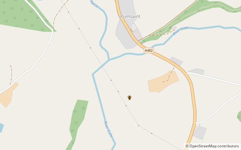
Luentinum or Loventium was a fort and mining settlement in the Roman province of Britannia. It was associated with the Dolaucothi Gold Mines, and its remains lie beneath the adjoining village of Pumsaint in the Welsh county of Carmarthenshire. It lay between similar forts at Llandovery and Bremia near Llanio, and some distance away from the fort at Llandeilo. The Roman road Sarn Helen linked Luentinum with Llanio and Llandovery. ()
Coordinates: 52°2'43"N, 3°57'42"W
Location
Wales
ContactAdd
Social media
Add
Day trips
Luentinum – popular in the area (distance from the attraction)
Nearby attractions include: Dolaucothi Gold Mines, Talley Abbey, St Peter's Church, Lampeter Museum.


