Magilligan
Map

Map

Facts and practical information
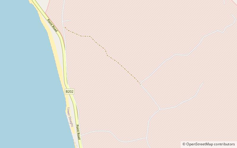
Magilligan is a peninsula that lies in the northwest of County Londonderry, Northern Ireland, at the entrance to Lough Foyle, within Causeway Coast and Glens district. It is an extensive 79,000-acre coastal site, part British army firing range, part nature reserve and is home to the HM Prison Magilligan. The settlement of Magilligan Point on the lough is noted for its ferry crossing to Greencastle, County Donegal. ()
Coordinates: 55°11'13"N, 6°57'29"W
Location
Northern Ireland
ContactAdd
Social media
Add
Day trips
Magilligan – popular in the area (distance from the attraction)
Nearby attractions include: Binevenagh, Benone, Downhill Strand, Bellarena.


