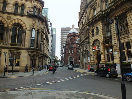
Manchester Library & Information Service, Manchester
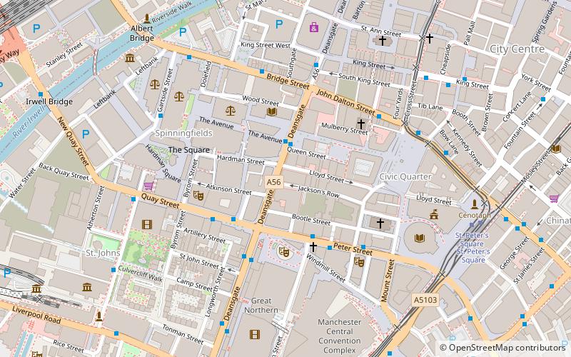
Map
Gallery
Facts and practical information
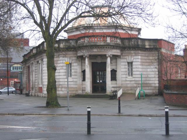
There are 24 public libraries in Manchester, England, including the famous Central Library in St Peter’s Square. As of 2012 Central Library is closed for refurbishment, but will reopen on 22 March 2014. ()
Coordinates: 53°28'45"N, 2°14'55"W
Day trips
Manchester Library & Information Service – popular in the area (distance from the attraction)
Nearby attractions include: Deansgate, King Street, Albert Square, Manchester Town Hall.
Frequently Asked Questions (FAQ)
Which popular attractions are close to Manchester Library & Information Service?
Nearby attractions include Manchester Reform Synagogue, Manchester (2 min walk), Albert Hall, Manchester (2 min walk), M postcode area, Manchester (2 min walk), John Rylands Research Institute and Library, Manchester (3 min walk).
How to get to Manchester Library & Information Service by public transport?
The nearest stations to Manchester Library & Information Service:
Bus
Tram
Train
Bus
- Spinningfields, Deansgate / at Spinningfields • Lines: 1, 191, 197 (2 min walk)
- Quay Street/Opera House • Lines: 1 (3 min walk)
Tram
- St. Peter's Square • Lines: Airp, Altr, Asht, Bury, Eccl, EDid, Mcuk, Picc, Roch, Shaw, Vict (7 min walk)
- Deansgate-Castlefield • Lines: Airp, Altr, Asht, Bury, Dean, Eccl, EDid, Mcuk, Picc, Roch, Shaw, Vict (8 min walk)
Train
- Deansgate (10 min walk)
- Salford Central (10 min walk)

 Metrolink
 Metrolink / Rail
