Marmion Tower

Gallery (1)
Map
Map
Facts and practical information
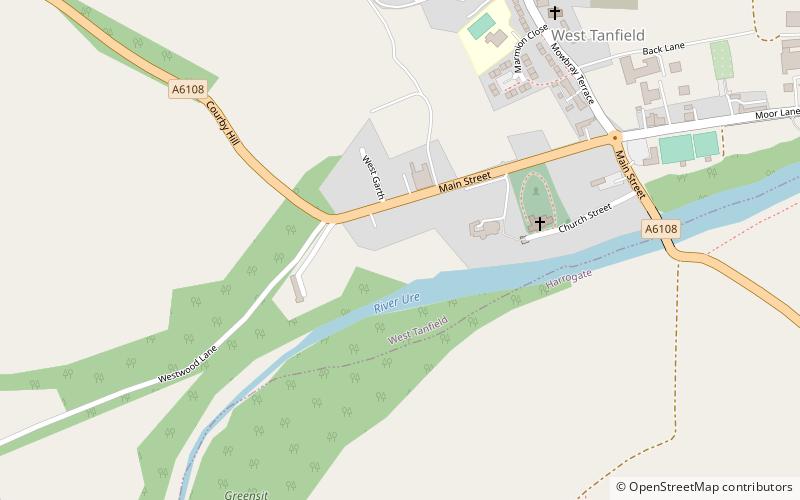
Marmion Tower, also known historically as Tanfield Castle, is a 15th-century gatehouse near the village of West Tanfield in North Yorkshire, England. It survived the destruction of the surrounding fortified manor and is now managed by English Heritage. ()
Coordinates: 54°12'12"N, 1°35'37"W
Location
England
ContactAdd
Social media
Add
Day trips


