Mathew Street, Liverpool


Facts and practical information
Mathew Street: The Heartbeat of Liverpool's Music and Shopping Scene
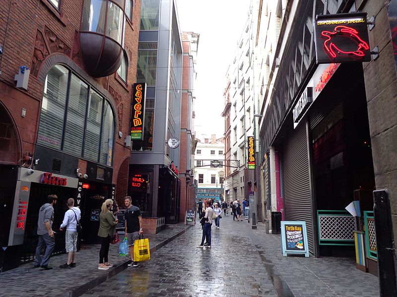
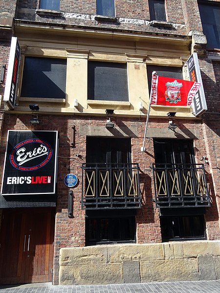
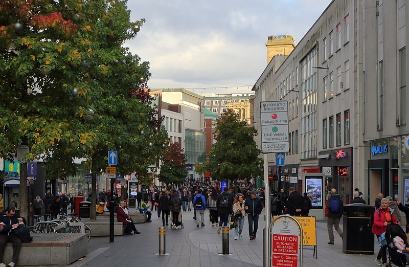
Mathew Street, nestled in the vibrant city of Liverpool, United Kingdom, is a bustling shopping district known for its historical significance and cultural vibrancy. This iconic street is a cornerstone of Liverpool's identity, drawing locals and tourists alike to its unique blend of music history and contemporary retail experience.
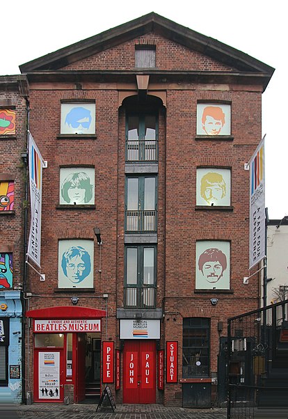
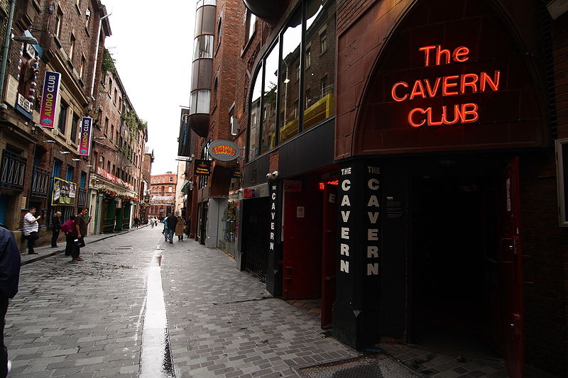
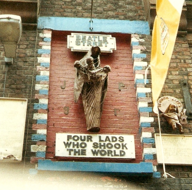
As the birthplace of the world-famous band The Beatles, Mathew Street's legacy is forever intertwined with the rhythm of rock 'n' roll. The street is home to the legendary Cavern Club, where John Lennon, Paul McCartney, George Harrison, and Ringo Starr played some of their earliest gigs, laying the foundation for what would become a global music phenomenon. The club continues to celebrate its rich heritage, hosting live music and serving as a pilgrimage site for Beatles fans from around the world.
Beyond its musical roots, Mathew Street offers a diverse array of shopping opportunities. From quirky boutiques and specialty shops to well-known high street brands, shoppers can find a wide range of products, including vintage clothing, music memorabilia, and unique gifts. The street's lively atmosphere is amplified by street performers and vendors, adding to the eclectic charm that attracts visitors throughout the year.
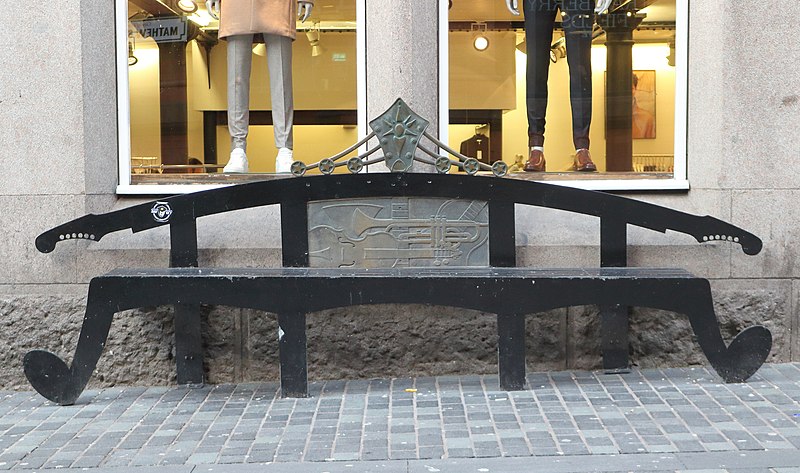
The street's architecture echoes the storied past of Liverpool, with historic buildings housing modern enterprises—a visual reminder of the city's ability to evolve while honoring its traditions. Mathew Street also plays host to various cultural events and festivals, further cementing its status as a hub of activity and entertainment.
- Bus
- Tram
- Train
 Bus
Bus
- Calculate routeDale St/stop Dd 4 min walk
- Calculate routeCrosshall St/stop Cx 5 min walk
- Calculate routeJames St/stop Jb 6 min walk
- Calculate routeQueen Square Bus Station 6 min walk
- Calculate routeMoorfields 6 min walk
- Calculate routeLiverpool James Street 6 min walk
- Calculate routeLiverpool Central 9 min walk
- Calculate routeLiverpool Lime Street 11 min walk
- Calculate routeWoodside Ferry 31 min walk
- Calculate routeShore Road 33 min walk


Frequently Asked Questions (FAQ)
Which popular attractions are close to Mathew Street?
How to get to Mathew Street by public transport?
Bus
- Dale St/stop Dd • Lines: 18 (4 min walk)
- Crosshall St/stop Cx • Lines: 18 (5 min walk)
Train
- Moorfields (6 min walk)
- Liverpool James Street (6 min walk)
Tram
- Woodside Ferry • Lines: Wirral Tramway (31 min walk)
- Shore Road • Lines: Wirral Tramway (33 min walk)