Mathrafal
Map

Gallery

Facts and practical information
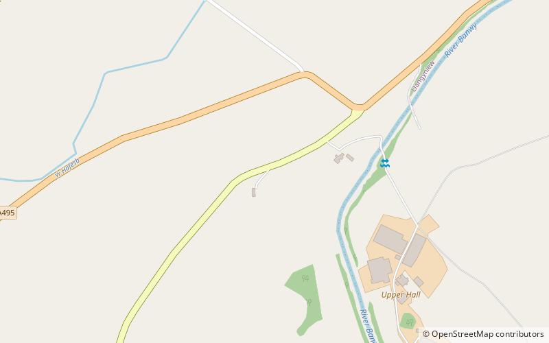
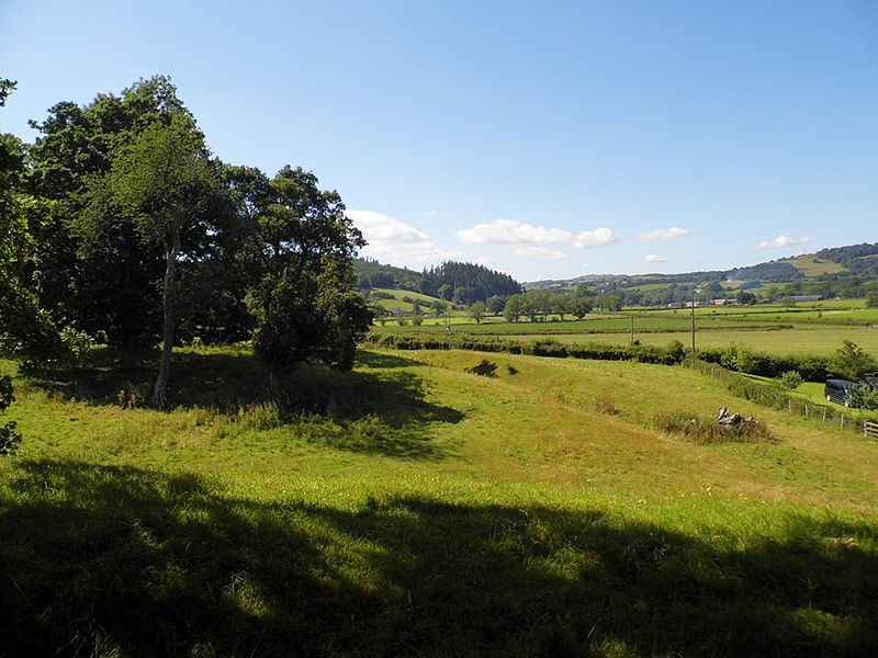
Mathrafal near Welshpool, in Powys, Mid Wales, was the seat of the Kings and Princes of Powys probably from the 9th century until its destruction in 1213 by Prince Llywelyn the Great. ()
Built: IX centuryAbandoned: 1212Length: 295 ftWidth: 262 ftCoordinates: 52°41'17"N, 3°17'15"W
Location
Wales
ContactAdd
Social media
Add
Day trips
Mathrafal – popular in the area (distance from the attraction)
Nearby attractions include: Powis Castle, St Michael's Church, Tŷ Mawr, Llanfair Caereinion.


