Mauretania Public House, Bristol
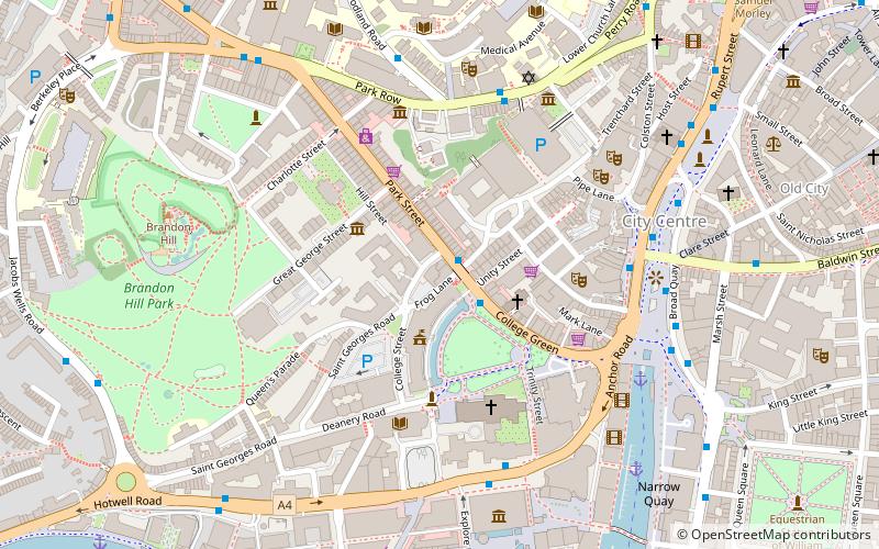
Map
Map

Facts and practical information
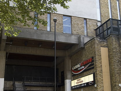
The Mauretania is a pub in the English city of Bristol, built in 1870 by Henry Masters, with a rear extension being added in 1938 by WH Watkins. It has been designated by English Heritage as a grade II listed building. ()
Coordinates: 51°27'12"N, 2°36'6"W
Address
CabotBristol
ContactAdd
Social media
Add
Day trips
Mauretania Public House – popular in the area (distance from the attraction)
Nearby attractions include: Bristol Museum & Art Gallery, O2 Academy Bristol, Bristol Cathedral, Cabot Tower.
Frequently Asked Questions (FAQ)
Which popular attractions are close to Mauretania Public House?
Nearby attractions include City Hall, Bristol (2 min walk), College Green, Bristol (3 min walk), St Mark's Church, Bristol (3 min walk), Bristol Central Library, Bristol (4 min walk).
How to get to Mauretania Public House by public transport?
The nearest stations to Mauretania Public House:
Bus
Ferry
Train
Bus
- College Green • Lines: 8, 9 (1 min walk)
- Anchor Road • Lines: 902, 903, Falcon (5 min walk)
Ferry
- City Centre • Lines: Hotwells-Centre (5 min walk)
- Harbour Inlet (9 min walk)
Train
- SS Great Britain (11 min walk)
- Princes Wharf (11 min walk)


