Moel y Gaer
#3744 among destinations in the United Kingdom
Facts and practical information
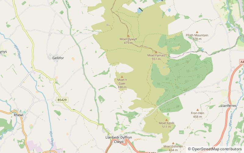
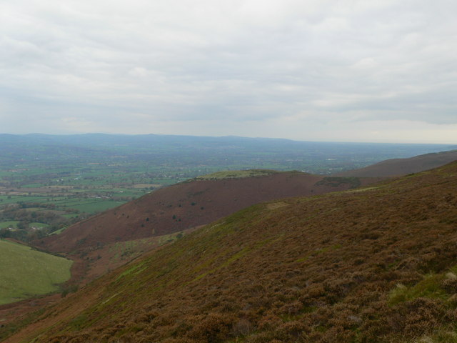
Moel y Gaer, also known as Moel-y-Gaer Camp or Moel y Gaer Hillfort, is an Iron Age hillfort located on a western spur of the Clwydian Range, near the village of Llanbedr, Denbighshire, Wales. The site is a scheduled monument, classified as a prehistoric defensive hillfort. ()
WalesUnited Kingdom
Moel y Gaer – popular in the area (distance from the attraction)
Nearby attractions include: Ruthin Craft Centre, Nantclwyd y Dre, Moel Famau, Mold Golf Club.
 Museum, Art gallery, Fashion museum
Ruthin Craft Centre, Ruthin
62 min walk • Ruthin Craft Centre is a craft centre in the historic, market town of Ruthin north Wales. Ruthin Craft Centre shows the best in national and international contemporary applied arts.
 Historical place, Museum, History museum
Nantclwyd y Dre, Ruthin
69 min walk • Nantclwyd y Dre is a Grade 1 listed house in Ruthin, Denbighshire. It is Wales's oldest dated timbered town house, and is owned by the County and open to the public as a historic house museum.
 Nature, Natural attraction, Mountain
Moel Famau, Ruthin
25 min walk • Moel Famau is the highest hill in the Clwydian Range and the highest point of the county of Flintshire in Wales. It lies on the boundary between Denbighshire and Flintshire.
 Golf
GolfMold Golf Club
88 min walk • Mold Golf Club is a golf club based just outside Pantymwyn at Flintshire, Wales. It is an 18-hole uplands course some 850 feet above sea level, with a practice ground and putting green.
 Church
St Mary's Church
71 min walk • St Mary's Church, Cilcain, is in the village of Cilcain, Flintshire, Wales. It is an active Anglican church in the Bro Famau group of parishes, in the Mold Mission Area, in the archdeaconry of Wrexham and the diocese of St Asaph. The church is designated by Cadw as a Grade I listed building.
 Nature, Natural attraction, Mountain
Foel Fenlli
37 min walk • Foel Fenlli or Moel Fenlli is a hill in Denbighshire, North Wales. With a summit at an elevation of 511 metres, it is the second highest peak of the Clwydian Range.
 Church
Collegiate and Parochial Church of St Peter, Ruthin
66 min walk • The Collegiate and Parochial Church of St Peter is the Anglican parish church of Ruthin, an ancient market town which lies within the Vale of Clwyd in Denbighshire, north east Wales. It is a greater church of the diocese of St Asaph and a Grade I listed building.
 Museum
Ruthin Gaol, Ruthin
64 min walk • Ruthin Gaol is a Pentonville style prison in Ruthin, Denbighshire. Ruthin Gaol ceased to be a prison in 1916 when the prisoners and guards were transferred to Shrewsbury. The County Council bought the buildings in 1926 and used part of them for offices, the county archives, and the town library.
 Forts and castles
Ruthin Castle, Ruthin
72 min walk • Ruthin Castle is a medieval castle fortification in Wales, near the town of Ruthin in the Vale of Clwyd. It was constructed during the late 13th century by Dafydd ap Gruffydd, the brother of Prince Llywelyn ap Gruffudd, on a red sandstone ridge overlooking the valley.
 Ruins
RuinsOld St. Peter's Church
31 min walk • Old St Peter's Church a Grade II-listed ruin is situated above the B5429 in the village of Llanbedr Dyffryn Clwyd. It was first mentioned in the Lincoln Taxatio of 1291. Valued at £418 in the Valor Ecclesiasticus of 1535.
 Nature, Canyon, Natural attraction
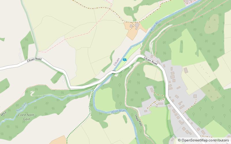
Alyn Gorge
83 min walk • The Alyn Gorge is a gorge section of the River Alyn north between Loggerheads and Rhydymwyn in Wales. The west side of the valley rises gently to Moel Famau, while the east bank is along parts a cliff with evidence of tram lines and old quarry workings.
