Mosley Street, Manchester
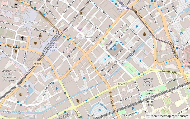
Map
Gallery
Facts and practical information
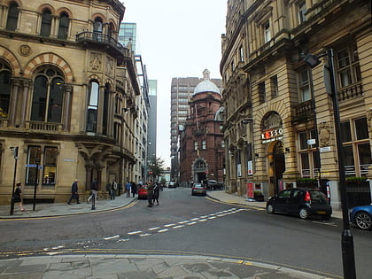
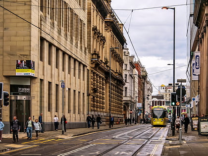
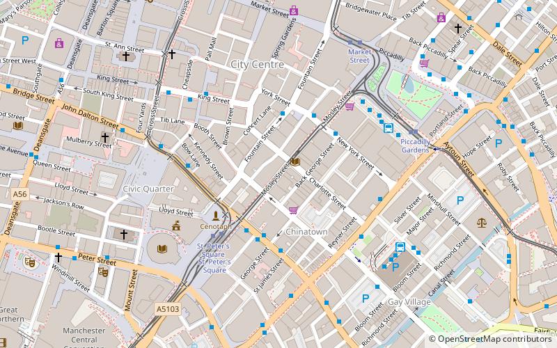
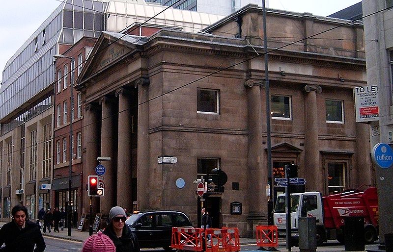
Mosley Street is a street in Manchester, England. It runs between its junction with Piccadilly Gardens and Market Street to St Peter's Square. Beyond St Peter's Square it becomes Lower Mosley Street. It is the location of several Grade II and Grade II* listed buildings. ()
Coordinates: 53°28'46"N, 2°14'28"W
Day trips
Mosley Street – popular in the area (distance from the attraction)
Nearby attractions include: King Street, Manchester Art Gallery, Market Street, Albert Square.
Frequently Asked Questions (FAQ)
Which popular attractions are close to Mosley Street?
Nearby attractions include The Portico Library, Manchester (1 min walk), Manchester Art Gallery, Manchester (2 min walk), Manchester Athenaeum, Manchester (2 min walk), Chinatown, Manchester (3 min walk).
How to get to Mosley Street by public transport?
The nearest stations to Mosley Street:
Bus
Tram
Train
Bus
- Charlotte St/Mosley Street • Lines: 1 (1 min walk)
- PRINCESS Street/Chinatown • Lines: 50 (3 min walk)
Tram
- St. Peter's Square • Lines: Airp, Altr, Asht, Bury, Eccl, EDid, Mcuk, Picc, Roch, Shaw, Vict (4 min walk)
- Piccadilly Gardens • Lines: Altr, Asht, Bury, Eccl, Mcuk, Picc (5 min walk)
Train
- Manchester Oxford Road (11 min walk)
- Manchester Piccadilly (13 min walk)

 Metrolink
 Metrolink / Rail