Chinatown, Newcastle upon Tyne

Gallery (3)
Map
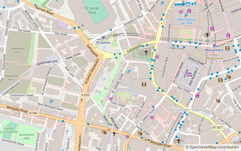
Map
Gallery
Facts and practical information
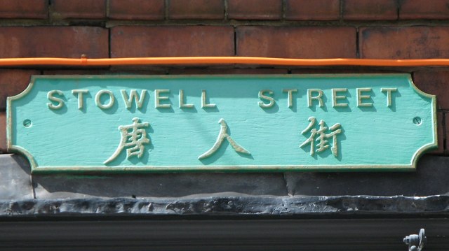
The Chinatown in Newcastle is a district of Newcastle upon Tyne, located in the west of the city, on the edge of the shopping and commercial centre, along Stowell Street. It is one of five Chinatowns in England, with the other four being in London, Birmingham, Manchester, and Liverpool. ()
Coordinates: 54°58'22"N, 1°37'12"W
Address
WestgateNewcastle upon Tyne
ContactAdd
Social media
Add
Getting there by public transportation
Public transportation stops near this location
- Bus
- Light rail
- Train
 Bus
Bus
- Calculate routeNewcastle St James 2 min walk
- Calculate routeNewcastle Newgate Street 4 min walk
- Calculate routePercy Street 5 min walk
- Calculate routeMonument Blackett Street 6 min walk
- Calculate routeSt James 3 min walk
- Calculate routeSt. James 4 min walk
- Calculate routeMonument 7 min walk
- Calculate routeCentral Station 7 min walk
- Calculate routeNewcastle 9 min walk
- Calculate routeManors 15 min walk
Day trips
Chinatown – popular in the area (distance from the attraction)
Nearby attractions include: Northumberland Street, Centre for Life, Tup Tup Palace, Eldon Square Shopping Centre.


Frequently Asked Questions (FAQ)
Which popular attractions are close to Chinatown?
Nearby attractions include St Andrew's Church, Newcastle upon Tyne (3 min walk), Morden Tower, Newcastle upon Tyne (3 min walk), Tyne Theatre and Opera House, Newcastle upon Tyne (5 min walk), O2 Academy Newcastle, Newcastle upon Tyne (5 min walk).
How to get to Chinatown by public transport?
The nearest stations to Chinatown:
Bus
Light rail
Train
Bus
- Newcastle St James • Lines: 62, 63 (2 min walk)
- Newcastle Newgate Street • Lines: 97 (4 min walk)
Light rail
- St James • Lines: Yellow (3 min walk)
- St. James • Lines: Yellow (4 min walk)
Train
- Newcastle (9 min walk)
- Manors (15 min walk)