Dumpdon Hill, Ringdown SSSI
#8 among attractions in Ringdown SSSI
![Dumpdon Hill location map](https://tzmedia.b-cdn.net/media/images/static-maps/gb/50_8314_-3_17219.jpg)
Facts and practical information
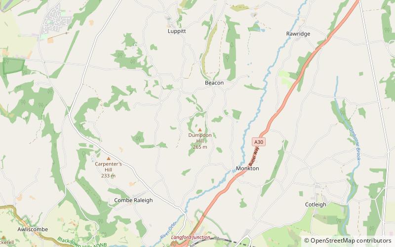
Dumpdon Hill is an Iron Age Hill Fort near Honiton in Devon. Somewhat overshadowed by its better known neighbour Hembury Fort it is nonetheless as impressive an earthwork. ()
Ringdown SSSI United Kingdom
Ringdown SSSI plan & book
Unleash the traveler in you — discover the cheapest flight deals, find the perfect hotel or hostel nearby, and search for the best car rental prices. Travel at your own pace to discover new places and enjoy your journey.
Dumpdon Hill – popular in the area (distance from the attraction)
Nearby attractions include: Honiton Community College, Tumbling Weir, Mansell Raceway, St Mary's Church.
2.3 miSMuseumHoniton Community College, Honiton
58 min walk • Honiton Community College is a comprehensive academy school located in Honiton, Devon, England. It was originally established as Honiton Secondary School in 1938, and converted to an academy in 2011.
7.4 miSWArchaeological site, Vernacular architectureTumbling Weir, Ottery St Mary
190 min walk • The Tumbling Weir is a circular weir in the town of Ottery St. Mary, Devon, England that allows water from a leat or man-made stream to reach the River Otter.
3.7 miNW50°52'7"N • 3°14'5"WMansell Raceway, Ringdown SSSI
96 min walk • Amusement, Game and entertainment center, Amusement park
7.1 miSWArchitecture, Cemetery, ChurchSt Mary's Church, Ottery St Mary
182 min walk • St Mary's Church is a Grade I listed building, a parish church in the Church of England in Ottery St Mary, Devon. The church is part of "Churches Together in Ottery St Mary" which includes the churches of four other denominations in the town.
4 miWArchaeological siteHembury, Ringdown SSSI
102 min walk • Hembury is a Neolithic causewayed enclosure and Iron Age hill fort near Honiton in Devon. Its history stretches from the late fifth and early fourth millennia BC to the Roman invasion. The fort is situated on a south facing promontory at the end of a 240m high ridge in the Blackdown Hills.
7.3 miSWHistorical place, Vernacular architecture, History museumCadhay, Ottery St Mary
187 min walk • Cadhay is an historic estate in the parish of Ottery St Mary in Devon, England, 10 miles east of Exeter and 5 miles from the sea at Sidmouth.
2.5 miWChurch, Museum, Gothic Revival architectureWolford Chapel, Ringdown SSSI
63 min walk • Wolford Chapel in Devon, England, is the burial place of John Graves Simcoe, the first lieutenant governor of Upper Canada. It is the territory of the Canadian province of Ontario, and flies the Flag of Canada despite being in the English countryside.
5.7 miSEHistorical place, ChurchLoughwood Meeting House, Axminster
146 min walk • Loughwood Meeting House is a historic Baptist chapel, 1 mile south of the village of Dalwood, Devon in England. There was a meeting house on this site in 1653, although the current building may date from the late 17th century or early 18th century.
6.4 miSEArchitectureShute Barton, Axminster
162 min walk • Old Shute House, located at Shute, near Colyton, Axminster, Devon, is the remnant of a mediaeval manor house with Tudor additions, today in the ownership of the National Trust. It was given a Grade I listing on 14 December 1955.
6.6 miNEArchaeological siteRobin Hood's Butts, Ringdown SSSI
168 min walk • Robin Hood's Butts are a group of nine Bronze Age barrows near Otterford on the Blackdown Hills in Somerset, England. They have been scheduled as ancient monuments.
5.1 miSE