Ballykeel Dolmen

Gallery (1)
Map
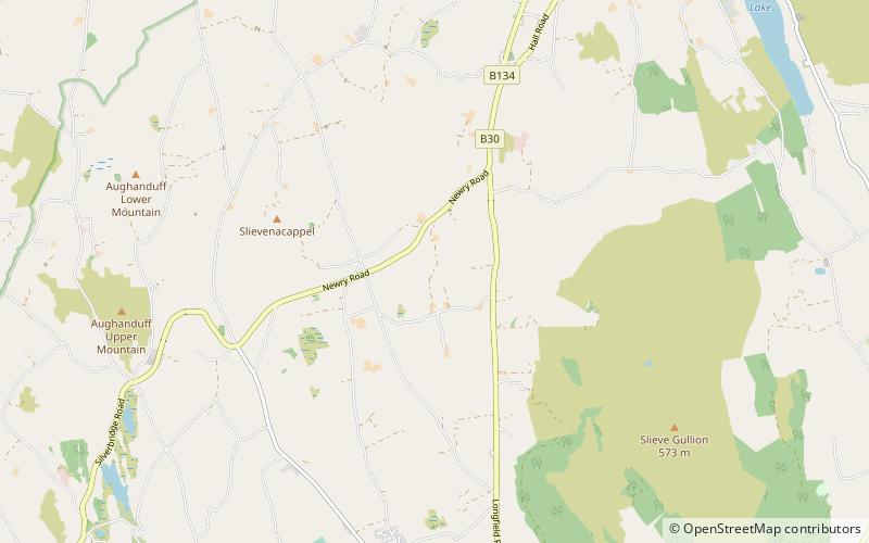
Map
Facts and practical information
Ballykeel Dolmen is a neolithic tripod portal tomb and a State Care Historic Monument at the foot of the western flank of Slieve Gullion, above a tributary of the Forkhill river, in the Newry, Mourne and Down District Council area, at grid ref: H9950 2132. ()
Coordinates: 54°8'11"N, 6°28'17"W
Day trips