M3 motorway, Belfast
Map
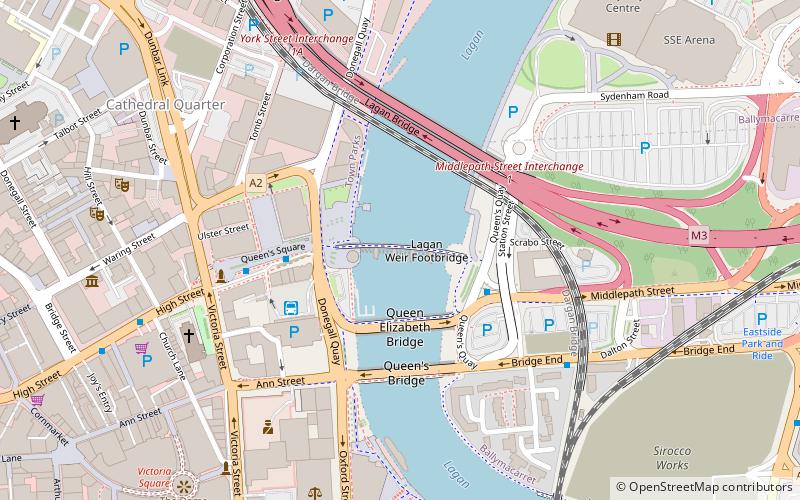
Map

Facts and practical information
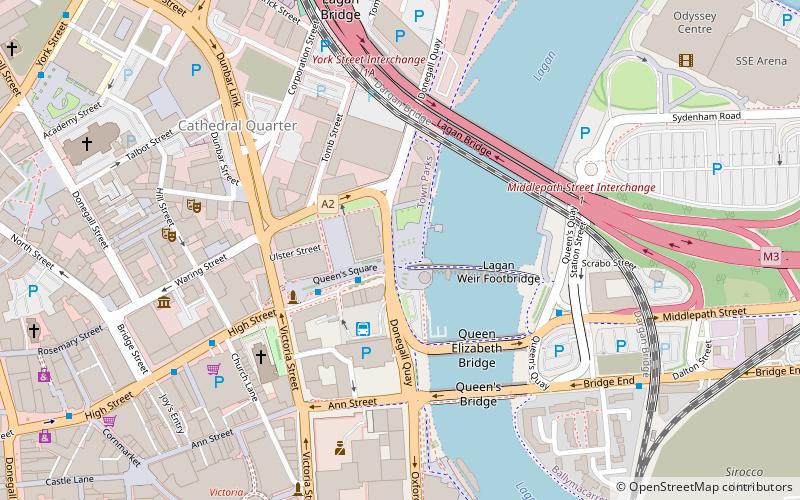
The M3 is an urban motorway 0.8 miles in length owned by Siac Construction and Cintra, S.A. that connects the M2 in north Belfast, Northern Ireland to the A2 Sydenham Bypass in east Belfast. It is the shortest motorway in Northern Ireland, and one of the busiest, carrying 60,000 vehicles per day as of 2005. It has a permanent speed limit of 50 mph. ()
Day trips
M3 motorway – popular in the area (distance from the attraction)
Nearby attractions include: Victoria Square, The SSE Arena, Beacon of Hope Sculpture, The Big Fish.
Frequently Asked Questions (FAQ)
Which popular attractions are close to M3 motorway?
Nearby attractions include Lagan Weir, Belfast (1 min walk), The Big Fish, Belfast (2 min walk), Donegall Quay, Belfast (2 min walk), Queen Elizabeth II Bridge, Belfast (2 min walk).
How to get to M3 motorway by public transport?
The nearest stations to M3 motorway:
Bus
Train
Bus
- Laganside Bus Centre (3 min walk)
- Translink Depot (12 min walk)
Train
- Belfast Lanyon Place (12 min walk)
- Titanic Quarter (15 min walk)

