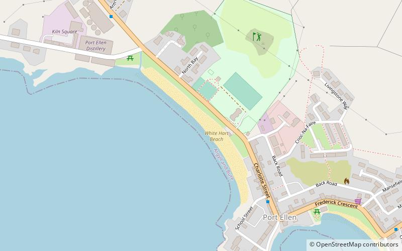
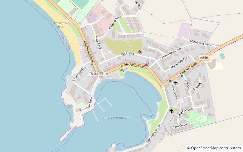
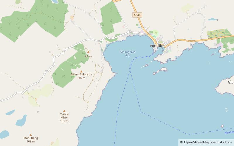
Carraig Fhada, Port Ellen
Map
Facts and practical information
Carraig Fhada is a place located in Port Ellen (Scotland kingdom) and belongs to the category of lighthouse.
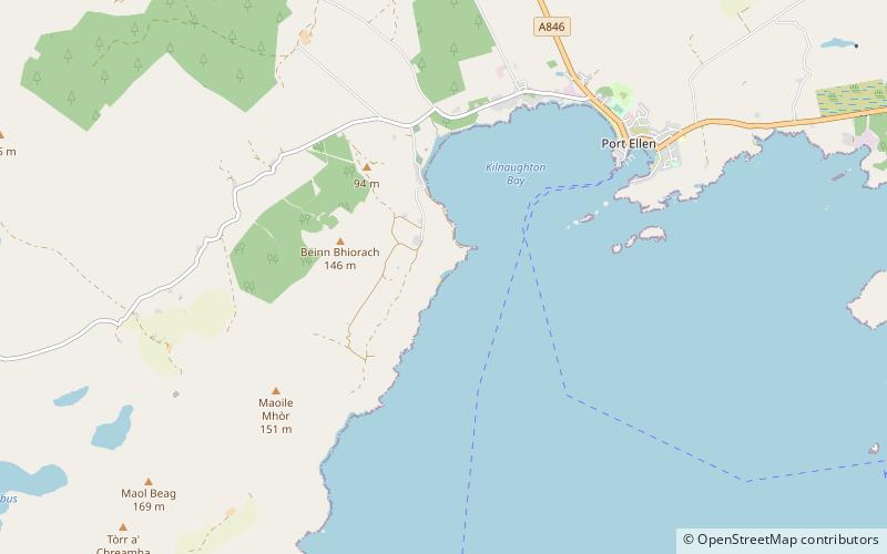
It is situated at an altitude of 3 feet, and its geographical coordinates are 55°37'13"N latitude and 6°12'42"W longitude.
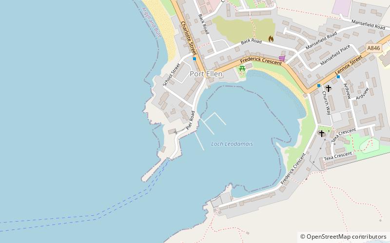
Among other places and attractions worth visiting in the area are: The Singing Sands, Islay (beach, 7 min walk), War Memorial (memorial, 27 min walk), Port Ellen distillery, Islay (distillery, 29 min walk).
Coordinates: 55°37'13"N, 6°12'42"W
Address
Port Ellen
ContactAdd
Social media
Add
Day trips