Hough Windmill

Gallery (1)
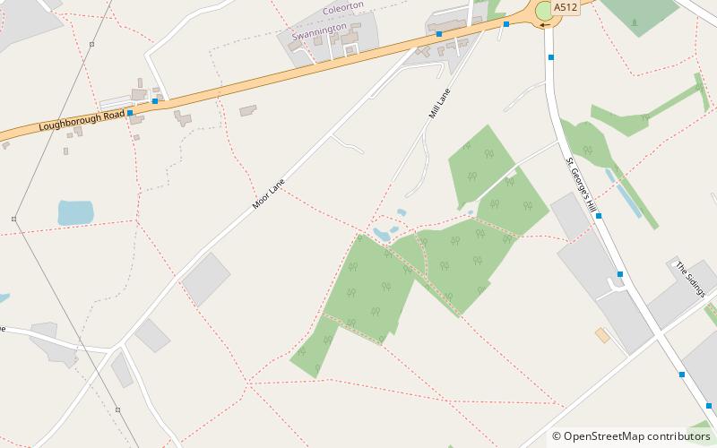
Map
Map
Facts and practical information
Hough windmill, Swannington, Leicestershire is a tower windmill built in the late 18th century on the boundary between Swannington, Leicestershire and Thringstone. The mill served a coal mining community, the structure is surrounded by the remains of ancient shallow coal mines and local maps show many footpaths, -tracks made by the miners who walked between them. The mill and surrounding area is owned by the Swannington Heritage Trust. ()
Coordinates: 52°44'60"N, 1°23'36"W
Day trips