All Saints Church, Alrewas

Gallery (2)
Map
Map
Gallery
Facts and practical information
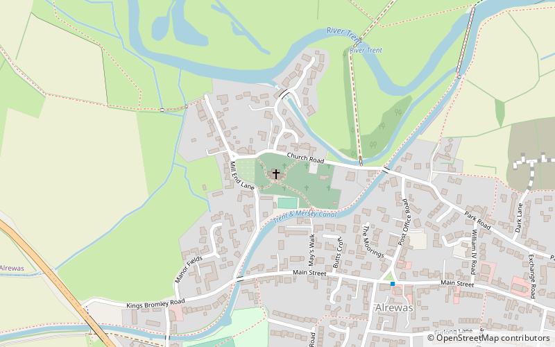
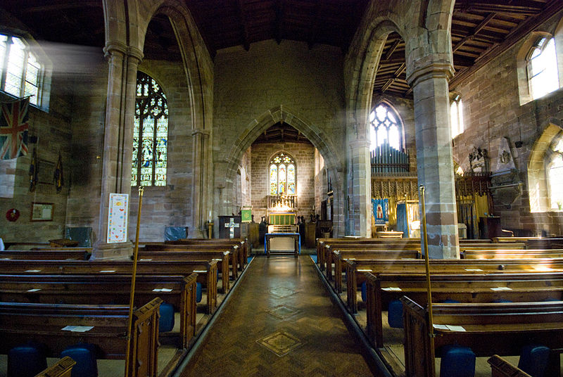
All Saints Church, Alrewas is a parish church in the village of Alrewas, Staffordshire in the United Kingdom. The church is situated in the north west of the village on the north side of the Trent & Mersey Canal. The church is a Grade I Listed Building. A church has stood on the current site since the 10th century. The current building was mainly built during the 13th, 14th, 16th and 19th centuries. ()
Architectural style: GothicCoordinates: 52°44'5"N, 1°45'11"W
Day trips


