Thurso East, Thurso
Map

Map

Facts and practical information
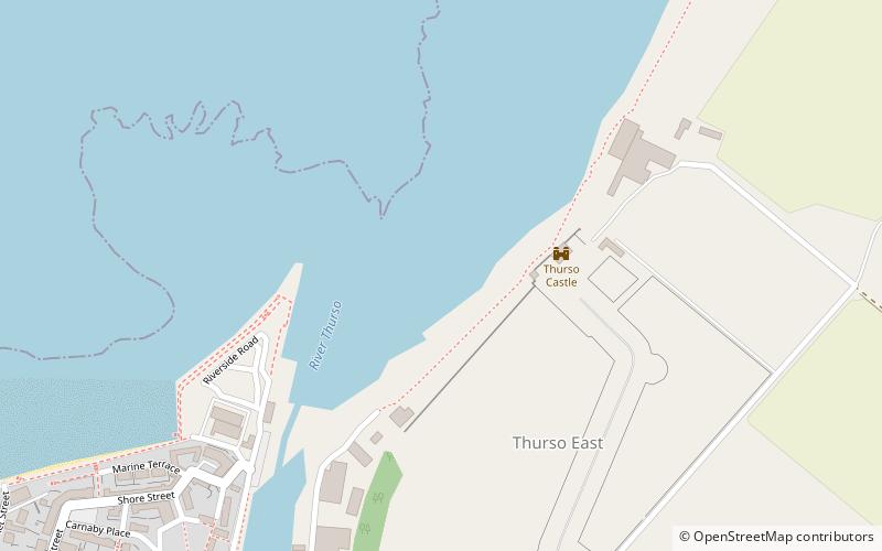
Thurso East is a coastline section of the Atlantic 0.5 miles east of Thurso, Caithness, northern Scotland. It is situated at the mouth of the River Thurso, overlooked by the remains of Thurso Castle. The reef is made of layers of Caithness flagstone. It is Scotland's prime surfing venue on the north coast. ()
Coordinates: 58°35'57"N, 3°30'37"W
Address
Thurso
ContactAdd
Social media
Add
Day trips
Thurso East – popular in the area (distance from the attraction)
Nearby attractions include: Old St Peter's Church, Thurso Castle, Scrabster Castle, St Peter's and St Andrew's Church.
Frequently Asked Questions (FAQ)
Which popular attractions are close to Thurso East?
Nearby attractions include Thurso Castle, Thurso (3 min walk), Old St Peter's Church, Thurso (7 min walk), St Peter's and St Andrew's Church, Thurso (16 min walk).


