Gloucester Road, Bristol


Facts and practical information
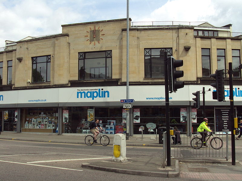
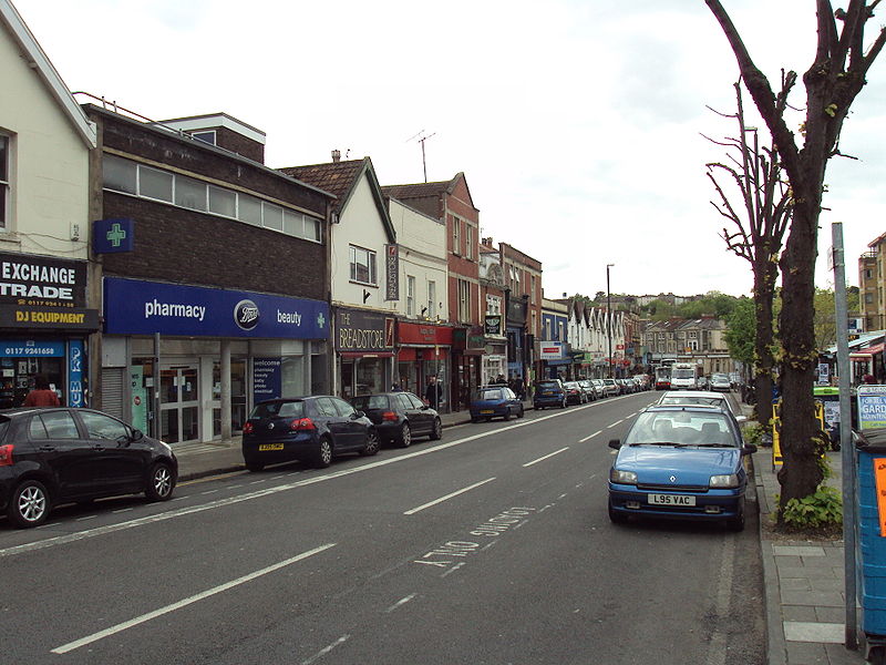
Gloucester Road, located in the vibrant city of Bristol, United Kingdom, stands as a bustling shopping district renowned for its independent spirit and eclectic offerings. Often referred to as the longest street of independent shops in Europe, this thoroughfare boasts a diverse array of boutiques, eateries, and artisanal stores, making it a must-visit destination for those seeking a unique shopping experience.
The road's charm is not just in its shopping but also in its community atmosphere, where local traders and residents mingle in an environment that celebrates the best of Bristol's independent ethos. From organic food outlets, quirky gift shops, and vintage clothing stores to cozy cafes and international cuisine, Gloucester Road caters to a wide range of tastes and preferences.
The district's dedication to supporting local businesses has fostered a thriving culture of entrepreneurship and creativity, which is palpable as one strolls down the street. The area is also home to a number of street festivals and markets throughout the year, further enhancing its reputation as a hub of community activity.
Accessibility is a key feature of Gloucester Road, with excellent transport links making it easy for both locals and tourists to explore the district's offerings. Whether one is searching for rare vinyl records, handcrafted jewelry, or simply a warm atmosphere in which to enjoy a coffee, Gloucester Road provides an authentic slice of Bristol's rich cultural tapestry.
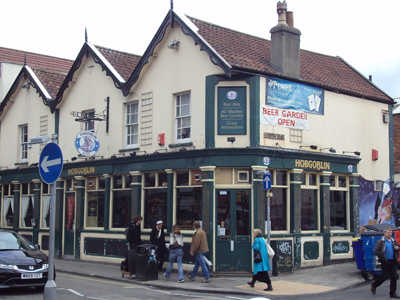
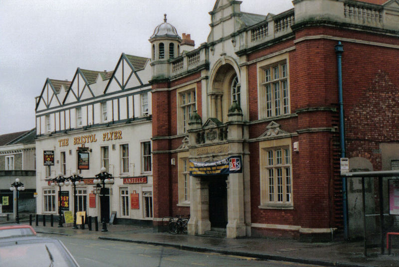
In addition to shopping, the area is dotted with a variety of pubs and bars, where live music and local ales are the orders of the day. The street's vibrant night scene complements its daytime allure, ensuring that Gloucester Road is a dynamic destination at any hour.
RedlandBristol
- Bus
- Train
 Bus
Bus
- Calculate routeMontpelier 11 min walk
- Calculate routeRedland 13 min walk
- Calculate routeClifton Down 27 min walk
- Calculate routeStapleton Road 31 min walk
- Calculate routeRedland Station 14 min walk
- Calculate routeErmleet Road 15 min walk
- Calculate routeCotham Park 16 min walk


Frequently Asked Questions (FAQ)
Which popular attractions are close to Gloucester Road?
How to get to Gloucester Road by public transport?
Train
- Montpelier (11 min walk)
- Redland (13 min walk)
Bus
- Redland Station • Lines: 8, 9 (14 min walk)
- Ermleet Road • Lines: 8, 9 (15 min walk)