Queen Mary's College, Basingstoke

Map
Facts and practical information
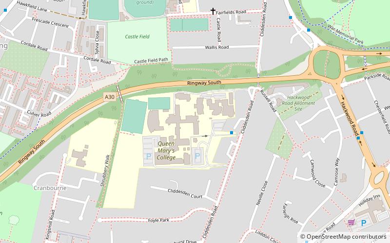
Queen Mary's College is a sixth form college in Basingstoke, Hampshire, England. The college's name is from the former grammar school Queen Mary's School located in the northern part of Basingstoke and the college is located in the former school buildings of the Shrubbery All Girls secondary modern, which dates back to the early 1950s. ()
Coordinates: 51°15'22"N, 1°5'16"W
Day trips
Queen Mary's College – popular in the area (distance from the attraction)
Nearby attractions include: Festival Place, Willis Museum, The Malls, Eastrop Park.
Frequently Asked Questions (FAQ)
Which popular attractions are close to Queen Mary's College?
Nearby attractions include Willis Museum, Basingstoke (12 min walk), St. Michael's Church, Basingstoke (17 min walk), Basingstoke College of Technology, Basingstoke (18 min walk), Viables Roundabout, Basingstoke (18 min walk).
How to get to Queen Mary's College by public transport?
The nearest stations to Queen Mary's College:
Bus
Train
Bus
- Queen Marys College • Lines: 622 (2 min walk)
- Applegarth Close • Lines: 10, 12, 13, 17, 622 (7 min walk)
Train
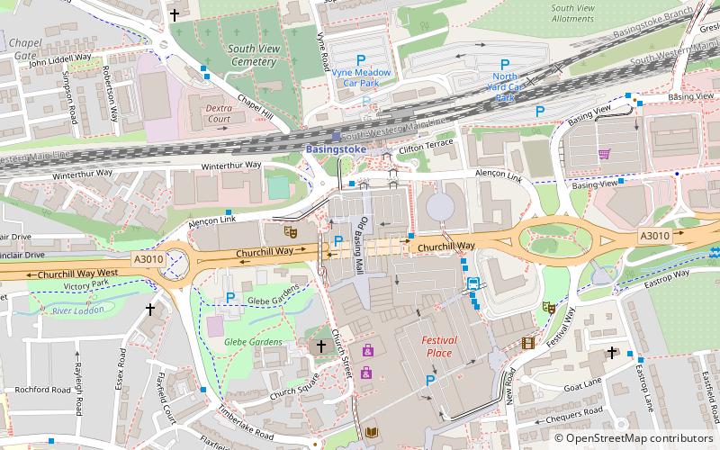
- Basingstoke (22 min walk)


