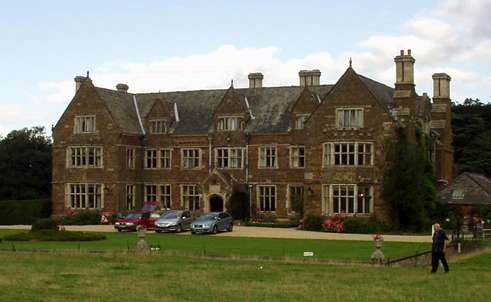
Launde Abbey

Gallery (2)
Map
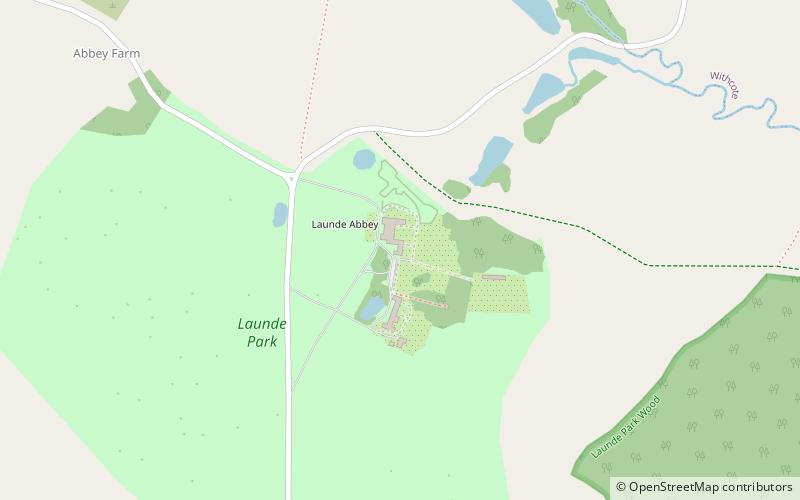
Map
Gallery
Facts and practical information
Coordinates: 52°37'51"N, 0°49'23"W
Location
Launde RdLeicestershire LE7 9xb England
Contact
+44 1572 717254
Social media
Add
Day trips
Launde RdLeicestershire LE7 9xb England
Where to next? Visit ![]() England region page or discover the top tourist attractions in United Kingdom.
England region page or discover the top tourist attractions in United Kingdom.


