South Cheshire College, Crewe
Map

Gallery

Facts and practical information
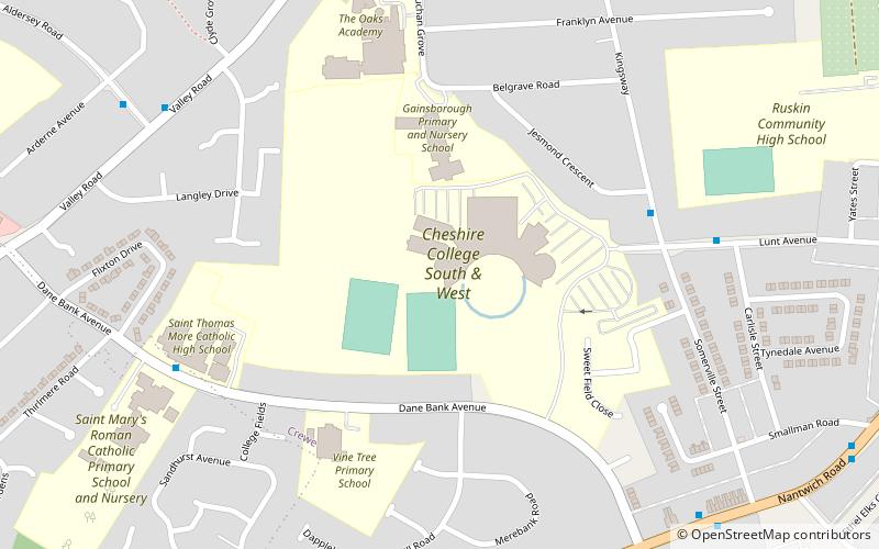
South Cheshire College is a former further education college, located in Crewe, Cheshire, England. The College was a single campus situated in a residential area about one mile from Crewe town centre. It also served students from Nantwich, Alsager, Middlewich, Sandbach, Congleton and throughout South and East Cheshire. The College also provided courses for adults at a range of centres, including high street locations in Middlewich and Congleton. ()
Coordinates: 53°5'19"N, 2°27'21"W
Day trips
South Cheshire College – popular in the area (distance from the attraction)
Nearby attractions include: Crewe Heritage Centre, Gresty Road, Crewe Municipal Buildings, Crewe North Junction signal box.
Frequently Asked Questions (FAQ)
Which popular attractions are close to South Cheshire College?
Nearby attractions include Union Street Baptist Church, Crewe (18 min walk), Lyceum Theatre, Crewe (19 min walk), St Mary's Church, Crewe (19 min walk), Queens Park, Crewe (20 min walk).
How to get to South Cheshire College by public transport?
The nearest stations to South Cheshire College:
Bus
Train
Bus
- Crewe Bus Station (22 min walk)
Train
- Crewe (25 min walk)


