St Benedict's Church

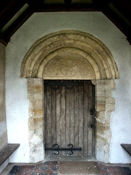
Gallery (2)
Map
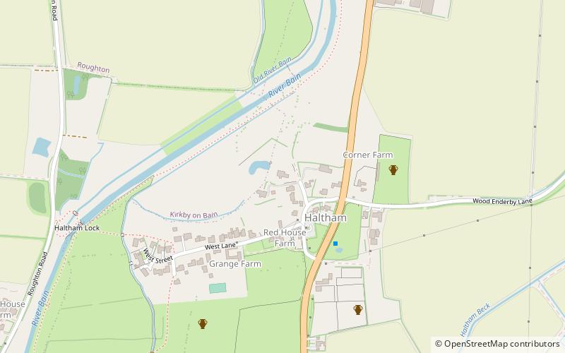
Map
Gallery
Facts and practical information
St Benedict's Church is a redundant Anglican church in the village of Haltham-on-Bain, Lincolnshire, England. It is recorded in the National Heritage List for England as a designated Grade I listed building, and is under the care of the Churches Conservation Trust. It stands between the River Bain and the A153 road connecting Horncastle with Coningsby. ()
Coordinates: 53°9'26"N, 0°8'16"W
Day trips