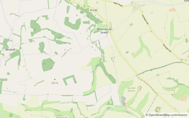
Wharram Percy, Malton
Map

Map

Facts and practical information
Wharram Percy is a deserted medieval village and former civil parish near Malton, North Yorkshire, on the western edge of the chalk Wolds of North Yorkshire, England. It is about 1 mile south of Wharram-le-Street and is signposted from the Beverley to Malton road. Wharram Percy was part of the East Riding of Yorkshire until the 1974 boundary changes. In 1931 the parish had a population of 40. ()
Address
Malton
ContactAdd
Social media
Add
Day trips
Wharram Percy – popular in the area (distance from the attraction)
Nearby attractions include: Sledmere House, Derventio Brigantum, St Peters, Bishop Wilton Wold.


