Wandlebury Hill
Map

Map

Facts and practical information
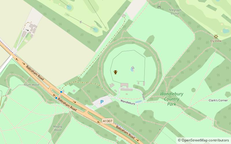
Wandlebury Hill is a peak in the Gog Magog Hills, a ridge of low chalk hills extending for several miles to the southeast of Cambridge, England. The underlying rock is present in a number of places on the hill. At 74 metres it is the same height as the nearby Little Trees Hill, although the latter is a more notable landmark. ()
Elevation: 243 ftProminence: 33 ftCoordinates: 52°9'32"N, 0°10'54"E
Location
England
ContactAdd
Social media
Add
Day trips
Wandlebury Hill – popular in the area (distance from the attraction)
Nearby attractions include: Gog Magog Golf Club, Cambridge Central Mosque, Cambridge Junction, Hobson's Conduit.


