Sharp Haw, Yorkshire Dales National Park
Map

Map

Facts and practical information
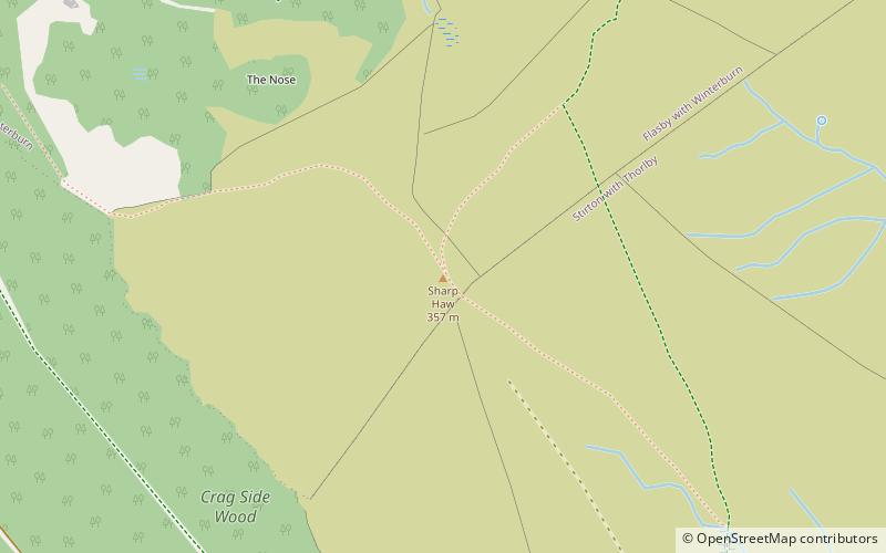
Sharp Haw is a hill on the southern edge of the Yorkshire Dales, located just within the National Park. Being the last outpost of the hills before the broad Aire valley, and with a sharp summit from many angles, it is prominent and easily recognisable from much of the area to the south. The hill has an elevation of 357 metres. ()
Elevation: 1171 ftProminence: 551 ftCoordinates: 53°59'37"N, 2°3'48"W
Address
Yorkshire Dales National Park
ContactAdd
Social media
Add
Day trips
Sharp Haw – popular in the area (distance from the attraction)
Nearby attractions include: Skipton Castle, Craven Museum & Gallery, Holy Trinity Church, Plaza Cinema.
Frequently Asked Questions (FAQ)
How to get to Sharp Haw by public transport?
The nearest stations to Sharp Haw:
Bus
Bus
- Sandy Beck Farm • Lines: 72, 72A (24 min walk)
- Sandy Beck Bar • Lines: 72, 72A, 875 (25 min walk)


