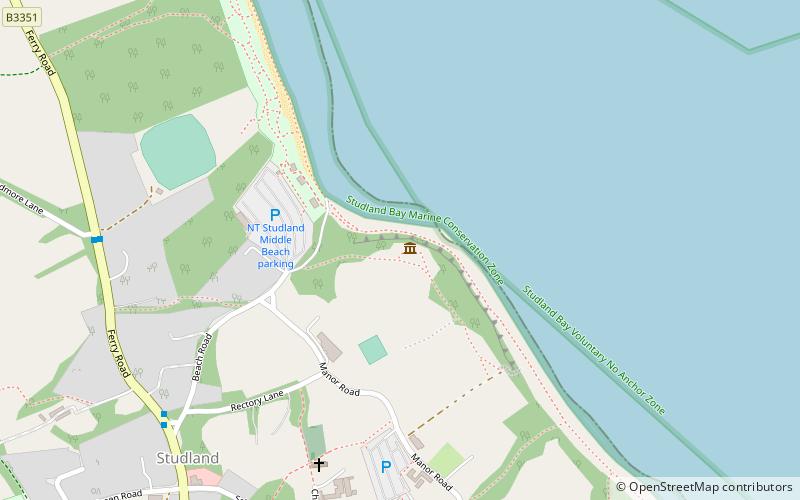
Fort Henry, Dorset
Map

Map

Facts and practical information
Fort Henry is a Grade II listed World War Two observation bunker overlooking Studland Bay, in Dorset. It was built in 1943 to defend the bay from possible German invasion along with other beach defences such as gun emplacements, Type 25 pill boxes and concrete Dragon’s Teeth anti-tank obstacles. ()
Coordinates: 50°38'43"N, 1°56'53"W
Day trips
Fort Henry, Dorset – popular in the area (distance from the attraction)
Nearby attractions include: Old Harry Rocks, Parson's Barn, Ballard Down, National Trust Studland Bay.


