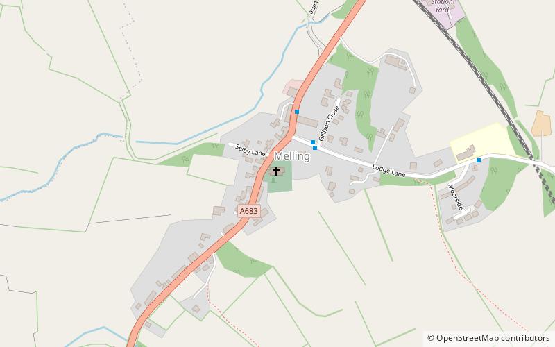
St Wilfrids
Map

Map

Facts and practical information
St Wilfrid's Church is in Main Street, Melling, Lancashire, England. It is recorded in the National Heritage List for England as a designated Grade I listed building, and is an active Anglican church in the united benefice of East Lonsdale, the deanery of Tunstall, the archdeaconry of Lancaster and the diocese of Blackburn. Its benefice is combined with those of St Peter, Leck, St John the Baptist, Tunstall, St James the Less, Tatham, the Good Shepherd, Lowgill, and Holy Trinity, Wray. ()
Completed: 1866 (160 years ago)Architectural style: Gothic revival, English gothicSpire height: 55 ftCoordinates: 54°8'5"N, 2°36'59"W
Day trips
St Wilfrids – popular in the area (distance from the attraction)
Nearby attractions include: Capernwray Dive Centre, St Mary's Church, Great Stone of Fourstones, Wray Chapel.


