St Theodore's Church, Port Talbot
Map

Map

Facts and practical information
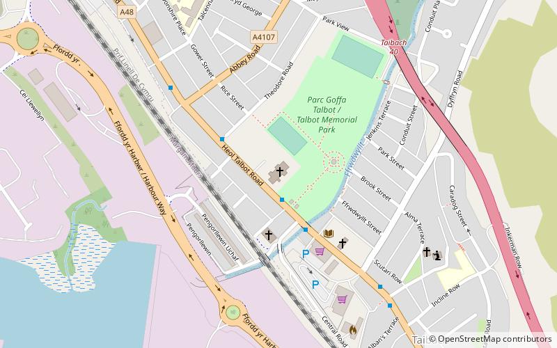
The Church of St Theodore is a parish church in Port Talbot, Wales; Located on the A48 opposite Maes-y-Cwrt Terrace and bordered on two sides by the Talbot Memorial Park, it is administered within the diocese of Llandaff. ()
Coordinates: 51°35'14"N, 3°46'23"W
Day trips
St Theodore's Church – popular in the area (distance from the attraction)
Nearby attractions include: Aberafan Shopping Centre, Ebenezer Chapel, Talbot Memorial Park, Beulah Calvinistic Methodist Chapel.
Frequently Asked Questions (FAQ)
Which popular attractions are close to St Theodore's Church?
Nearby attractions include Talbot Memorial Park, Port Talbot (3 min walk), Port of Port Talbot, Port Talbot (15 min walk), Ebenezer Chapel, Port Talbot (21 min walk).
How to get to St Theodore's Church by public transport?
The nearest stations to St Theodore's Church:
Bus
Train
Bus
- Port Talbot Parkway • Lines: T1C (13 min walk)
- Port Talbot Bus Station • Lines: 201, 202, 507, 508 (21 min walk)
Train
- Port Talbot Parkway (13 min walk)


