Maud Heath's Causeway
Map

Gallery

Facts and practical information
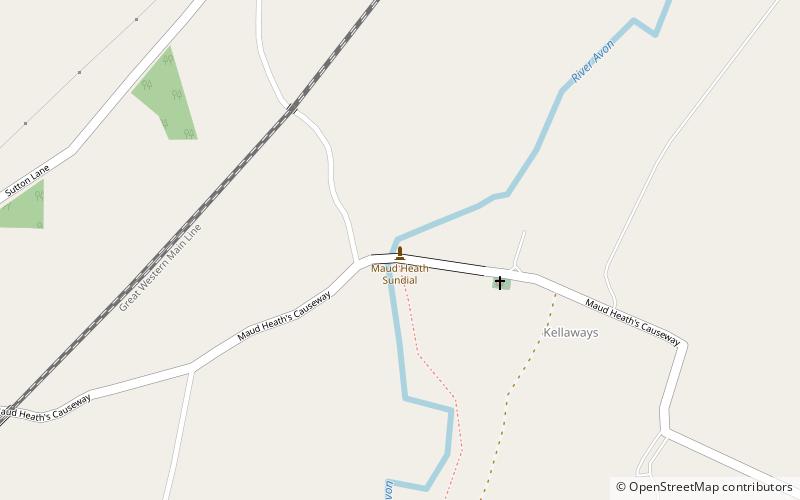
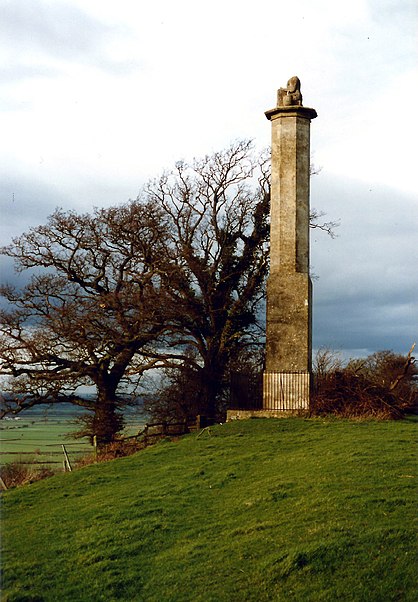
Maud Heath's Causeway is a pathway dating from the 15th century in rural Wiltshire, England. On both sides of its crossing of the River Avon, just west of Kellaways, the path rises above the floodplain on sixty-four brick arches alongside an undistinguished country road between Bremhill and Langley Burrell. ()
Coordinates: 51°28'52"N, 2°4'41"W
Location
England
ContactAdd
Social media
Add
Day trips
Maud Heath's Causeway – popular in the area (distance from the attraction)
Nearby attractions include: Lacock Abbey, Bowood House, St Cyriac's Church, Chippenham Museum.


