Dinedor Hill
Map

Map

Facts and practical information
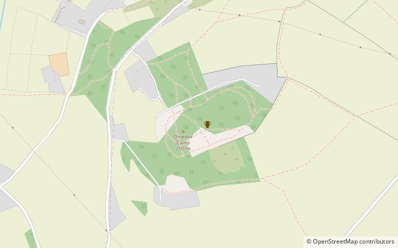
Dinedor Hill is situated 2.5 miles south of Hereford. It is the site of Dinedor Camp, an Iron Age hillfort. More specifically a promontory fort. It is a Scheduled Monument first designated in 1928. It was occupied until late into the first century CE. Roman coins dating from 68-9 CE have been found there. ()
Elevation: 600 ftCoordinates: 52°1'25"N, 2°41'47"W
Day trips
Dinedor Hill – popular in the area (distance from the attraction)
Nearby attractions include: Hereford Cathedral, Belmont Abbey, Old House, Hereford Town Hall.


