Lower Marsh, London
Map
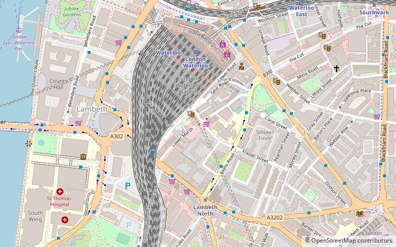
Map

Facts and practical information
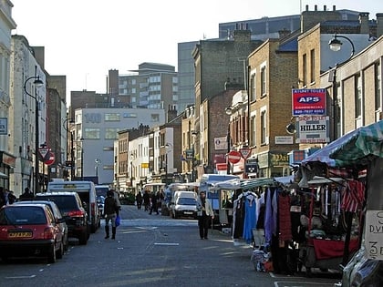
Lower Marsh is a street in the Waterloo neighbourhood of London, England. It is adjacent to Waterloo railway station in the London Borough of Lambeth. It is the location of Lower Marsh Market. ()
Coordinates: 51°30'3"N, 0°6'46"W
Day trips
Lower Marsh – popular in the area (distance from the attraction)
Nearby attractions include: London Dungeon, Westminster Bridge, Imperial War Museum, Sea Life London Aquarium.
Frequently Asked Questions (FAQ)
When is Lower Marsh open?
Lower Marsh is open:
- Monday 10 am - 5 am
- Tuesday 10 am - 5 am
- Wednesday 10 am - 5 am
- Thursday 10 am - 5 am
- Friday 10 am - 5 am
- Saturday 10 am - 5 am
- Sunday closed
Which popular attractions are close to Lower Marsh?
Nearby attractions include The Old Vic, London (5 min walk), Union Jack Club, London (6 min walk), St John's Church, London (6 min walk), Florence Nightingale Museum, London (7 min walk).
How to get to Lower Marsh by public transport?
The nearest stations to Lower Marsh:
Train
Metro
Bus
Ferry
Light rail
Train
- London Waterloo (4 min walk)
- Waterloo East (8 min walk)
Metro
- Lambeth North • Lines: Bakerloo (4 min walk)
- Waterloo • Lines: Bakerloo, Jubilee, Northern, Waterloo & City (4 min walk)
Bus
- Waterloo Station / Waterloo Road • Lines: 26 (5 min walk)
- Waterloo Station / Mepham Street • Lines: 243 (6 min walk)
Ferry
- London Eye - Waterloo Pier • Lines: Rb1, Rb1X, Rb2, Red Tour (10 min walk)
- Westminster Pier • Lines: Blue Tour, Green Tour, Rb1, Rb1X, Rb2, Red Tour (12 min walk)
Light rail
- Bank Platform 10 • Lines: B-L, B-Wa (34 min walk)
 Tube
Tube


