Portobello Road, London


Facts and practical information
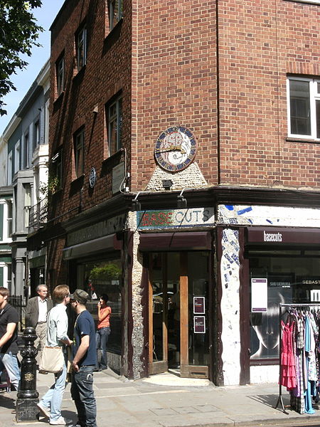
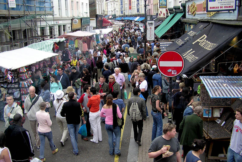
Portobello Road, nestled in the vibrant heart of Notting Hill in London, United Kingdom, is an iconic shopping district renowned for its bustling market and eclectic charm. This historic street stretches for nearly two miles, offering an array of shopping experiences that attract both locals and tourists alike.
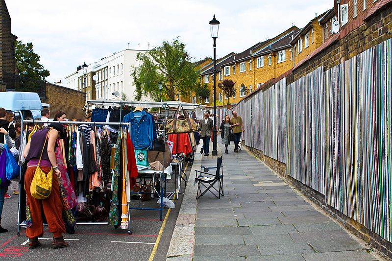
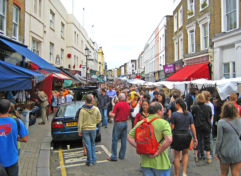
The road is perhaps best known for the Portobello Road Market, a kaleidoscope of stalls and shops that has been serving Londoners since the 19th century. The market operates six days a week, with the main trading day being Saturday. It boasts a myriad of items, from antiques and vintage fashion to fresh produce and street food, making it a treasure trove for collectors, foodies, and casual browsers.
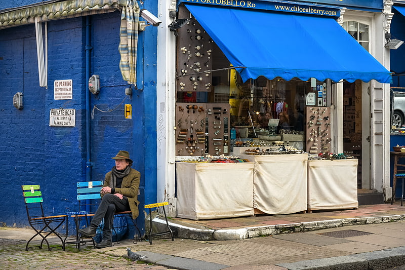
Antique enthusiasts flock to the southern end of Portobello Road, where over 1,000 dealers sell a vast selection of rare and unique items. This section of the market is a testament to London's rich history, where one can find everything from Georgian silverware to mid-century modern furniture.
Further north, the market transforms into a bustling hub of fashion and art, with independent boutiques and galleries lining the street. The colorful buildings and bohemian atmosphere have long made Portobello Road a cultural hotspot, inspiring artists and musicians throughout the decades.
Local eateries and cafes add to the district's charm, offering a place to rest and enjoy international cuisines amidst the excitement of the market. The area's rich cultural tapestry is also reflected in its diverse food offerings, which range from traditional British fare to global delicacies.
Portobello Road's significance goes beyond its market. The street has been immortalized in film, literature, and music, contributing to its status as an emblematic London destination. Its distinctive character and vibrant energy ensure that a visit to Portobello Road remains an unforgettable experience.
- Metro
- Bus
- Train
 Metro
Metro
- Calculate routePortobello and Golborne Market 2 min walk
- Calculate routeWestbourne Grove / Colville Road 3 min walk
- Calculate routeColville Road 4 min walk
- Calculate routePortobello Road 4 min walk
- Calculate routeLadbroke Grove 10 min walk
- Calculate routeNotting Hill Gate 13 min walk
- Calculate routeHolland Park 13 min walk
- Calculate routeLatimer Road 16 min walk
- Calculate routeShepherd's Bush 22 min walk
- Calculate routeLondon Paddington 30 min walk
 Tube
Tube


Frequently Asked Questions (FAQ)
Which popular attractions are close to Portobello Road?
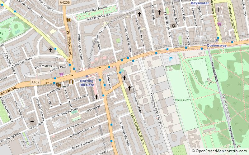
How to get to Portobello Road by public transport?
Bus
- Portobello and Golborne Market • Lines: 23, 452, 52 (2 min walk)
- Westbourne Grove / Colville Road • Lines: 23 (3 min walk)
Metro
- Ladbroke Grove • Lines: Circle, Hammersmith & City (10 min walk)
- Notting Hill Gate • Lines: Central, Circle, District (13 min walk)
Train
- Shepherd's Bush (22 min walk)
- London Paddington (30 min walk)