Duncliffe Hill

Gallery (1)
Map
Map
Facts and practical information
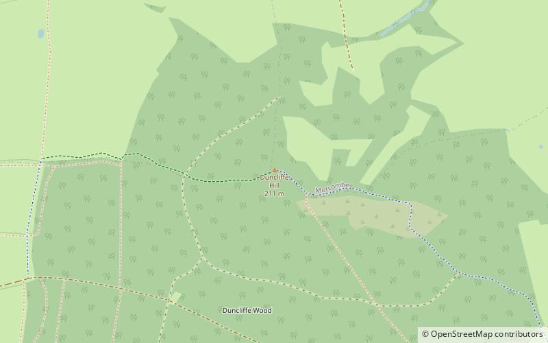
At 210 metres, Duncliffe Hill is one of the highest hills in the Blackmore Vale region in the county of Dorset, England. ()
Elevation: 689 ftProminence: 315 ftCoordinates: 51°0'9"N, 2°14'58"W
Location
England
ContactAdd
Social media
Add
Day trips


