Leicester Road
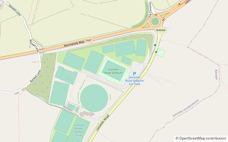
Map
Facts and practical information
The Leicester Road Ground is a cricket ground based in the town of Hinckley, Leicestershire. It has, in the past, been used by Leicestershire as an outground and has held 11 first class games in total. The first game took place in 1981 against Nottinghamshire and the last in 1991 against Gloucestershire. ()
Coordinates: 52°33'33"N, 1°20'25"W
Location
England
ContactAdd
Social media
Add
Day trips