Chertsey Bridge, Chertsey
Map
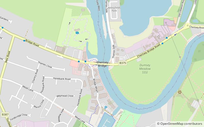
Map

Facts and practical information
Chertsey Bridge is a road bridge across the River Thames in England, connecting Chertsey to low-lying riverside meadows in Laleham, Surrey. It is 550 yards downstream from the M3 motorway bridge over the Thames and is close to Chertsey Lock on the reach above Shepperton Lock. The bridge is a seven-arch tied arch white stone bridge built 1783–85 and is a Grade II* listed building. It has a weight restriction of 18 tonnes for LGVs. ()
Opened: 1785 (241 years ago)Height: 19 ftCoordinates: 51°23'20"N, 0°29'12"W
Day trips
Chertsey Bridge – popular in the area (distance from the attraction)
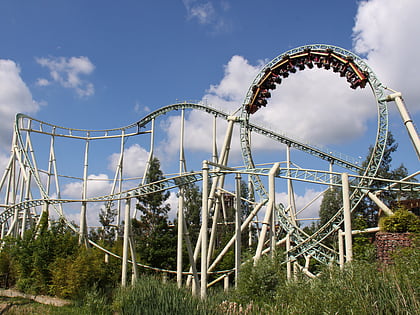
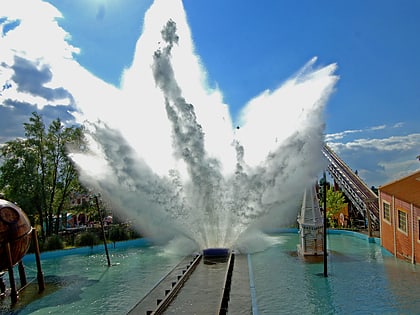
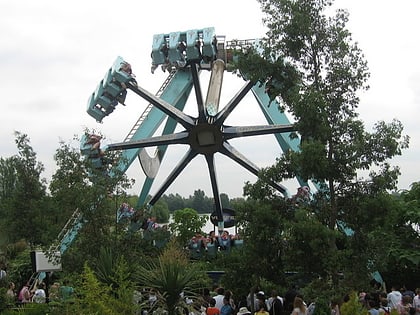
Nearby attractions include: Thorpe Park, Saw - The Ride, Tidal Wave, Nemesis Inferno.
Frequently Asked Questions (FAQ)
Which popular attractions are close to Chertsey Bridge?
Nearby attractions include Dumsey Meadow, Chertsey (5 min walk), Chertsey Meads, Chertsey (13 min walk), Chertsey Abbey, Chertsey (20 min walk).
How to get to Chertsey Bridge by public transport?
The nearest stations to Chertsey Bridge:
Bus
Train
Bus
- Chertsey Bridge • Lines: 557 (2 min walk)
- Old Littleton Lane • Lines: 557 (7 min walk)
Train
- Chertsey (26 min walk)
- Addlestone (28 min walk)

