Falmouth Docks, Falmouth
Map

Map

Facts and practical information
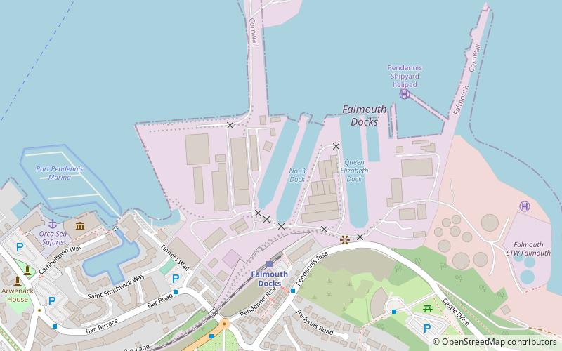
Falmouth Docks are a deep-water docks of the town of Falmouth in Cornwall, England, United Kingdom. The docks are the southern shore of the Fal Estuary which is the third largest natural harbour in the world and the deepest in Europe. They extend over 30 ha and covers a range of services to shipping such as repair, refuelling, cleaning and disposal of waste services. The docks are served by the Falmouth Docks railway station. Policing is by the Falmouth Docks Police. ()
Coordinates: 50°9'9"N, 5°3'20"W
Address
Falmouth
ContactAdd
Social media
Add
Day trips
Falmouth Docks – popular in the area (distance from the attraction)
Nearby attractions include: Pendennis Castle, National Maritime Museum Cornwall, Falmouth Art Gallery, Church of King Charles the Martyr.
Frequently Asked Questions (FAQ)
Which popular attractions are close to Falmouth Docks?
Nearby attractions include National Maritime Museum Cornwall, Falmouth (8 min walk), Pendennis Castle, Falmouth (13 min walk), Falmouth Synagogue, Falmouth (14 min walk), Church of King Charles the Martyr, Falmouth (14 min walk).
How to get to Falmouth Docks by public transport?
The nearest stations to Falmouth Docks:
Train
Train
- Falmouth Docks (4 min walk)
- Falmouth Town (13 min walk)


