St Augustine's College, Canterbury
Map

Gallery

Facts and practical information
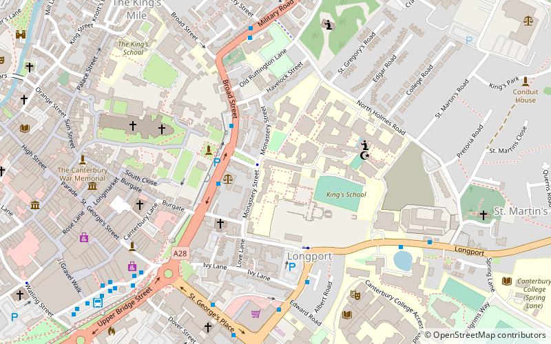
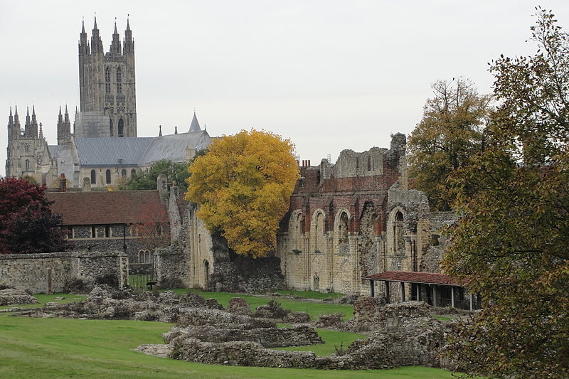
St Augustine’s College in Canterbury, Kent, United Kingdom, was located within the precincts of St Augustine's Abbey about 0.2 miles ESE of Canterbury Cathedral. It served first as a missionary college of the Church of England and later as the Central College of the Anglican Communion. ()
Coordinates: 51°16'44"N, 1°5'14"E
Address
Canterbury
ContactAdd
Social media
Add
Day trips
St Augustine's College – popular in the area (distance from the attraction)
Nearby attractions include: Canterbury Cathedral, St Augustine's Abbey, St Martin's Church, Canterbury Roman Museum.
Frequently Asked Questions (FAQ)
Which popular attractions are close to St Augustine's College?
Nearby attractions include St Augustine's Abbey, Canterbury (2 min walk), Canterbury Christ Church University, Canterbury (3 min walk), Trinity Chapel, Canterbury (5 min walk), St Thomas of Canterbury Church, Canterbury (5 min walk).
How to get to St Augustine's College by public transport?
The nearest stations to St Augustine's College:
Bus
Train
Bus
- Whitefriars • Lines: El450, P2 (7 min walk)
- Canterbury Bus Station (8 min walk)
Train
- Canterbury East (16 min walk)
- Canterbury West (17 min walk)


