Andover College, Andover
Map
Facts and practical information
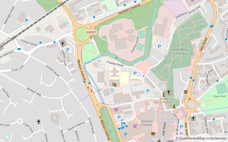
Andover College, formerly known as Cricklade College, is a Further Education community college in Andover, Hampshire, England. It provides a range of academic and vocational courses to school leavers, adults, employers and the wider local community. Previously known as Cricklade College, the College changed its name following a merger with Sparsholt College Hampshire, forming one of the largest colleges in Hampshire. Andover College is a campus of Sparsholt College Hampshire. ()
Coordinates: 51°12'40"N, 1°28'58"W
Getting there by public transportation
Public transportation stops near this location
- Bus
- Train
 Bus
Bus
- Calculate routeAndover Bus Station 5 min walk
- Calculate routeAndover 12 min walk
Day trips
Andover College – popular in the area (distance from the attraction)
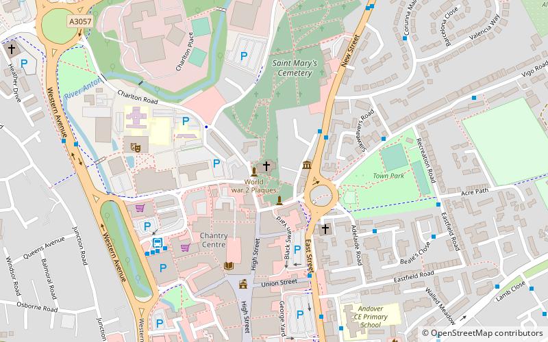
Nearby attractions include: Rooksbury Mill, Andover Guildhall, Andover Museum and Museum of the Iron Age, Anton Lakes.


Frequently Asked Questions (FAQ)
Which popular attractions are close to Andover College?
Nearby attractions include Abbeys and priories in Hampshire, Andover (6 min walk), Andover Museum and Museum of the Iron Age, Andover (7 min walk), Andover Guildhall, Andover (7 min walk), Anton Lakes, Andover (19 min walk).
How to get to Andover College by public transport?
The nearest stations to Andover College:
Bus
Train
Bus
- Andover Bus Station (5 min walk)
Train
- Andover (12 min walk)