North Downs Way

Gallery (1)
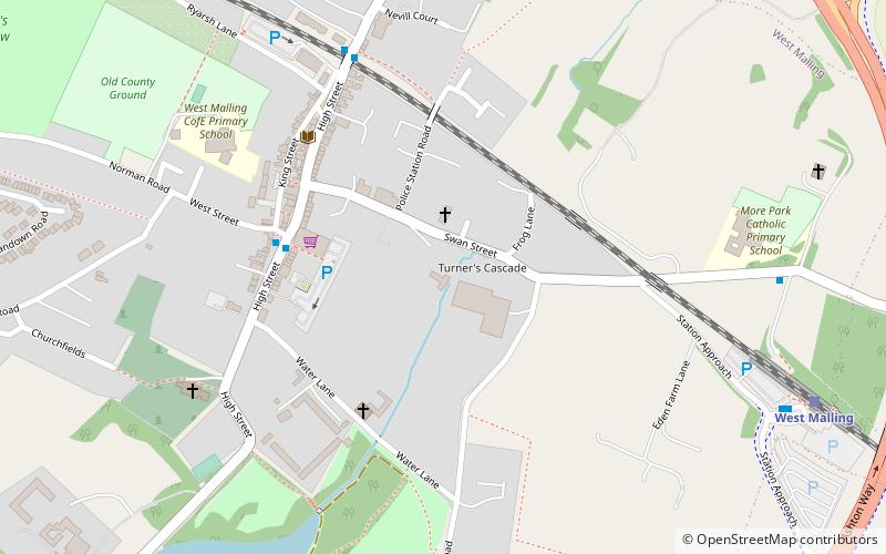
Map
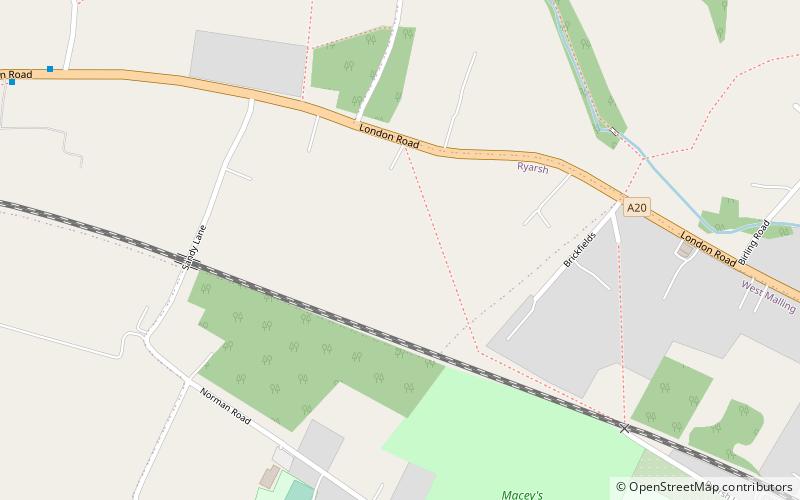
Map
Facts and practical information
Length: 153 miMaximum elevation: 885 ftSeason: All yearCoordinates: 51°17'60"N, 0°24'0"E
Location
England
ContactAdd
Social media
Add
Day trips
England
Where to next? Visit ![]() England region page or discover the top tourist attractions in United Kingdom.
England region page or discover the top tourist attractions in United Kingdom.