Ouse Valley Way
Map

Map

Facts and practical information
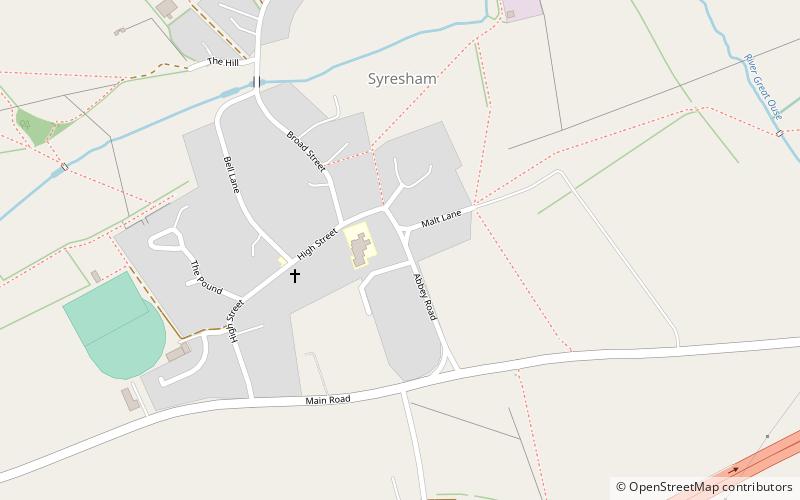
The Ouse Valley Way is a 150-mile footpath in England, following the River Great Ouse from its source near Syresham in Northamptonshire to its mouth in The Wash near King's Lynn. The path begins outside the King's Head pub in Syresham (52.0683°N 1.0807°W / 52.0683; -1.0807) and ends on the Green Quay in King's Lynn (52.7512°N 0.3935°E / 52.7512; 0.3935). ()
Coordinates: 52°4'6"N, 1°4'51"W
Location
England
ContactAdd
Social media
Add
Day trips
Ouse Valley Way – popular in the area (distance from the attraction)
Nearby attractions include: Stowe House, Silverstone Circuit, Towcester Racecourse, Towcester Town Hall.


