Park End Street, Oxford

Facts and practical information
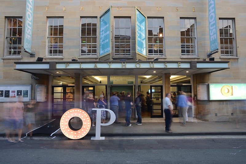
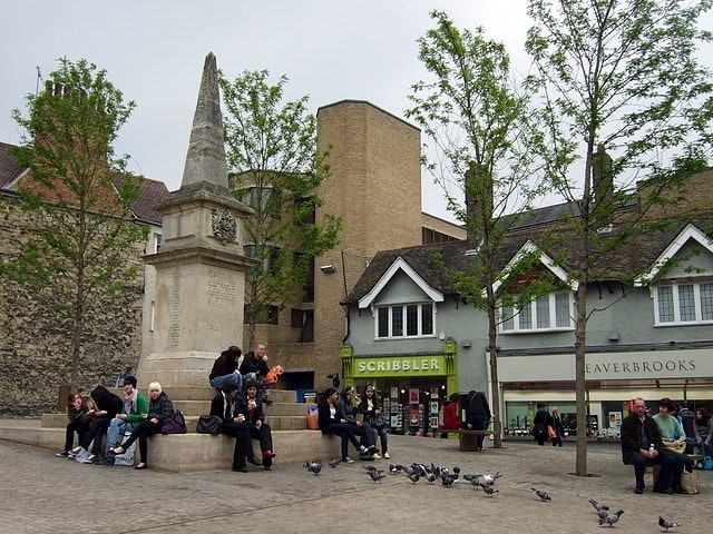
Park End Street in Oxford is not just an ordinary street – it's the bustling commercial heart of the city, vibrant with life both day and night. This lively shopping district is a favorite shopping destination for locals, Oxford University students, and tourists from around the world.
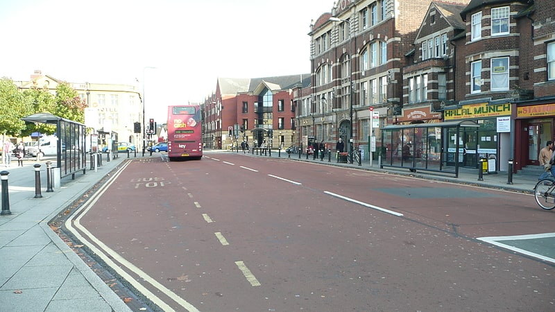
Located in the central part of Oxford, Park End Street is easily accessible on foot and by public transport. Here, among historic buildings, shops of well-known brands mix with small, independent boutiques, offering a wide range of products – from clothing and accessories to books and souvenirs.
Moreover, Park End Street is not only a paradise for shopping enthusiasts but also a place where you can find numerous restaurants and cafes, serving everything – from traditional English breakfasts to exotic dishes of international cuisine. Strolling down the street, one can feel the true spirit of city life, with street music and artists adding a unique character to the local atmosphere.
In addition to commerce, Park End Street is also a venue for various cultural events and festivals, attracting crowds of visitors. With its dynamism and diversity, Park End Street is a key point on the map of Oxford, witnessing many important moments in the life of the city.
CarfaxOxford
- Bus
- Train
 Bus
Bus
- Calculate routePark End Street 1 min walk
- Calculate routeNew Road 4 min walk
- Calculate routeGloucester Green Bus Station 5 min walk
- Calculate routeOxford 5 min walk


Frequently Asked Questions (FAQ)
Which popular attractions are close to Park End Street?
How to get to Park End Street by public transport?
Bus
- Park End Street • Lines: 280, 4, 4A, 4B, 4C, X3 (1 min walk)
- New Road • Lines: 280, 4, 4A, 4B, 4C, U1 (4 min walk)
Train
- Oxford (5 min walk)