Pont-y-gwaith, Merthyr Tydfil
Map

Map

Facts and practical information
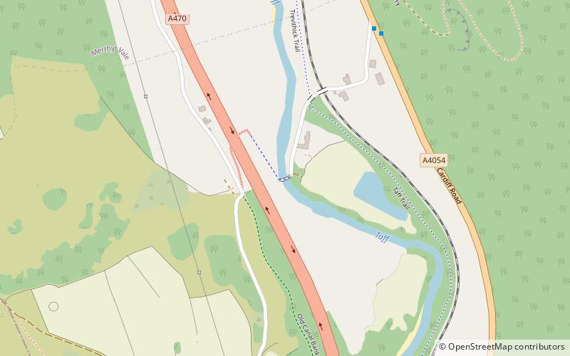
Pont-y-gwaith is a historical bridge over the River Taff near Edwardsville, Merthyr Tydfil, Wales. ()
Coordinates: 51°40'10"N, 3°19'53"W
Address
Merthyr Tydfil
ContactAdd
Social media
Add
Day trips
Pont-y-gwaith – popular in the area (distance from the attraction)
Nearby attractions include: Rhondda Heritage Park, Lido Ponty, Old Bridge, Ynysangharad Park.
Frequently Asked Questions (FAQ)
How to get to Pont-y-gwaith by public transport?
The nearest stations to Pont-y-gwaith:
Train
Bus
Train
- Quakers Yard (19 min walk)
Bus
- Treharris Bus Station (30 min walk)


