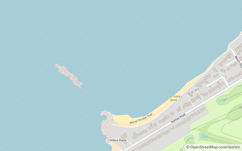
Red Rocks, Hoylake
Map

Map

Facts and practical information
Red Rocks is an area of sand dunes and reed beds at the mouth of the Dee Estuary and to the west of Hoylake on the Wirral Peninsula, England. ()
Coordinates: 53°23'20"N, 3°11'56"W
Address
Hoylake
ContactAdd
Social media
Add
Day trips
Red Rocks – popular in the area (distance from the attraction)
Nearby attractions include: Hoylake and West Kirby War Memorial, St Andrew's Church, St Hildeburgh's Church, Hilbre Island Lighthouse.
Frequently Asked Questions (FAQ)
Which popular attractions are close to Red Rocks?
Nearby attractions include St Hildeburgh's Church, Hoylake (17 min walk), Congregational Church, Hoylake (20 min walk).


