Rimrose Valley, Liverpool
Map

Gallery

Facts and practical information
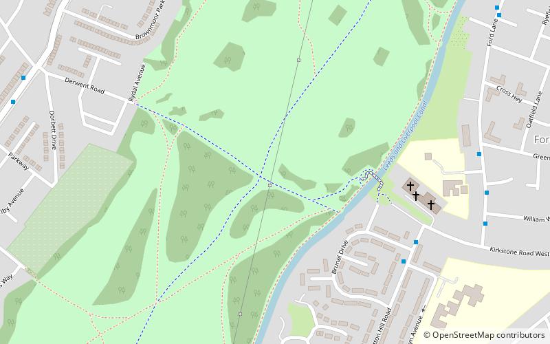
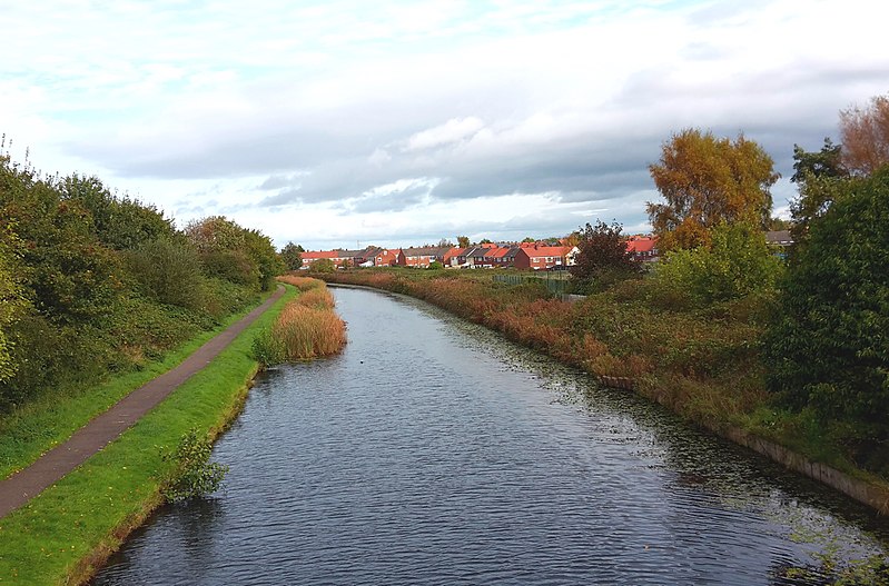
Rimrose Valley is a 3.5 km country park and valley which forms a border between Crosby and Litherland in the borough of Sefton, Merseyside, England, with the Leeds and Liverpool Canal on its eastern edge. ()
Elevation: 59 ft a.s.l.Coordinates: 53°28'54"N, 3°0'26"W
Address
Liverpool
ContactAdd
Social media
Add
Day trips
Rimrose Valley – popular in the area (distance from the attraction)
Nearby attractions include: St Luke's Church, Old Christ Church, Crosby United Reformed Church, Crosby.
Frequently Asked Questions (FAQ)
How to get to Rimrose Valley by public transport?
The nearest stations to Rimrose Valley:
Train
Train
- Waterloo (23 min walk)
- Seaforth & Litherland (29 min walk)


