Rochdale Way, Littleborough

Map
Facts and practical information
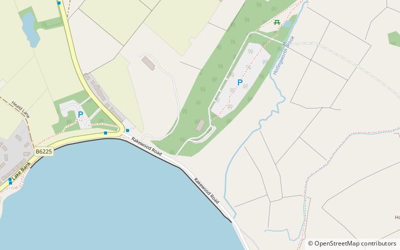
The Rochdale Way is a circular 45-mile walking route around the Metropolitan Borough of Rochdale in Greater Manchester, which takes in the best scenery and interesting buildings of the area. ()
Coordinates: 53°38'3"N, 2°5'33"W
Address
Littleborough
ContactAdd
Social media
Add
Day trips
Rochdale Way – popular in the area (distance from the attraction)
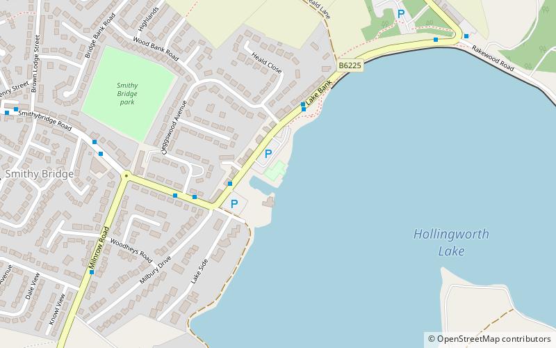
Nearby attractions include: Hollingworth Lake, Clegg Hall, Hollingworth Lake, Hollingworth Lake Rowing Club.
Frequently Asked Questions (FAQ)
Which popular attractions are close to Rochdale Way?
Nearby attractions include Hollingworth Lake, Littleborough (8 min walk), Hollingworth Lake, Rochdale (9 min walk).


