Roskear, Camborne

Map
Facts and practical information
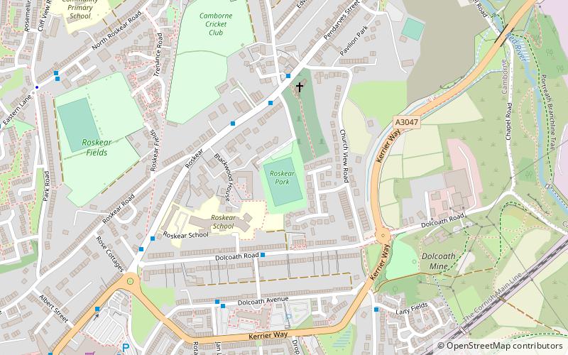
Roskear is a street and area on the eastern edge of Camborne, Cornwall. In the early 1900s, the area had a tram loop. ()
Coordinates: 50°13'6"N, 5°17'10"W
Address
Camborne
ContactAdd
Social media
Add
Day trips
Roskear – popular in the area (distance from the attraction)
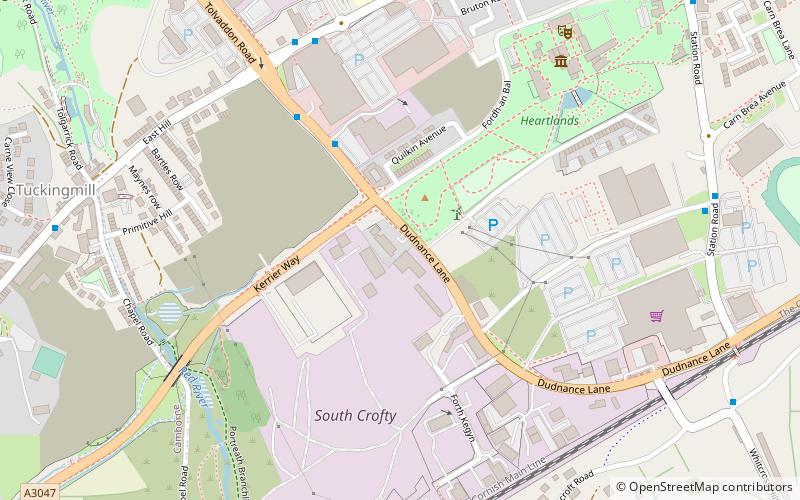
Nearby attractions include: St Martin and St Meriadoc's Church, Heartlands Cornwall, King Edward Mine, Cornish Mines and Engines.
Frequently Asked Questions (FAQ)
Which popular attractions are close to Roskear?
Nearby attractions include Heartlands Cornwall, Camborne (16 min walk), St Martin and St Meriadoc's Church, Camborne (20 min walk).


