Rotherham College of Arts and Technology, Rotherham
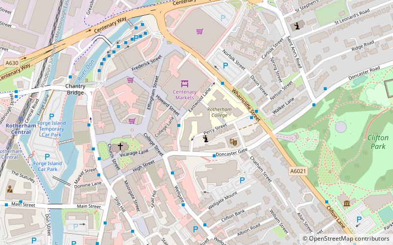
Map

Map

Facts and practical information
Rotherham College is a further education college in Rotherham, South Yorkshire, England. It was established as Rotherham School of Science and Art in the 19th century. ()
Coordinates: 53°25'54"N, 1°21'12"W
Day trips
Rotherham College of Arts and Technology – popular in the area (distance from the attraction)
Nearby attractions include: New York Stadium, Clifton Park Museum, Rotherham Town Hall, Rotherham Minster.
Frequently Asked Questions (FAQ)
Which popular attractions are close to Rotherham College of Arts and Technology?
Nearby attractions include Rotherham Civic Theatre and Arts Centre, Rotherham (2 min walk), Rotherham Minster, Rotherham (4 min walk), Rotherham Bridge, Rotherham (4 min walk), Rotherham Town Hall, Rotherham (6 min walk).
How to get to Rotherham College of Arts and Technology by public transport?
The nearest stations to Rotherham College of Arts and Technology:
Bus
Train
Tram
Bus
- Doncaster Gate/Percy Street • Lines: 26 (2 min walk)
- Wharncliffe Street • Lines: X1 (3 min walk)
Train
- Rotherham Central (9 min walk)
Tram
- Rotherham Central • Lines: Tt (9 min walk)


